
Country United States GNIS feature ID 359414 Zip code 96729 | ZIP codes 96729 Elevation 189 m Local time Wednesday 10:41 AM | |
 | ||
Time zone Hawaii-Aleutian (HAST) (UTC-10) Weather 27°C, Wind NE at 11 km/h, 66% Humidity | ||
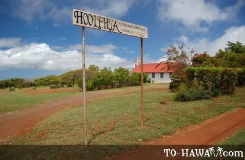
Hoʻolehua (also spelled Hoolehua) is an unincorporated community on the island of Molokai in Maui County, Hawaii, United States. It lies just off Hawaii Route 460, next to the Molokai Airport. Its elevation is 620 feet (189 m). Because the community's name has been spelled multiple ways, the Board on Geographic Names officially designated it "Hoʻolehua" in 2003. Although it is unincorporated, it has a post office, with the ZIP code of 96729.
Map of Ho'olehua, HI 96729, USA
References
Hoʻolehua, Hawaii Wikipedia(Text) CC BY-SA