
Area rank 137 in Norway Area 792 km² Local time Monday 2:15 AM | Demonym(s) Hjartdøl Population 1,633 (2004) | |
 | ||
Weather -3°C, Wind E at 6 km/h, 84% Humidity | ||
Hjartdal is a municipality in Telemark county, Norway. It is part of the traditional region of Øst-Telemark. The administrative centre of the municipality is the village of Sauland.
Contents
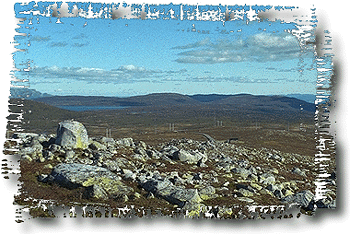
Map of Hjartdal, Norway
The municipality of Hierdal was established as a municipality on 1 January 1838 (see formannskapsdistrikt). It consists of three parish'es: Hjartdal, Sauland, and Tuddal.
Up to the 1500s Hjartdal parish stretched from Rauland in the west and Kongsberg to the east. Counting from west to east, the villages Åmotsdal, Svartdal, Hjartdal, Tuddal, Sauland, Gransherad, Bolkesjø, Jondalen and Lisleherad was at one point included in the same parish. Gransherad was spun off last, around 1860. At the same time the administrative centre was moved from Hjartdal village to Sauland. Today, the Hjartdal parish and municipality consist of the three villages Hjartdal, Sauland and Tuddal.
Name
The Old Norse form of the name was Hjartdalr. The first element is probably a river name *Hjarta (now called the Hjartdøla river) and the last element is dalr m 'valley, dale'. The river name is derived from hjǫrtr m 'red deer'.
Coat-of-arms
The coat-of-arms is from modern times. They were granted in 1989. The arms show a silver-colored red deer on a green background. They are canting arms because the name of the municipality is derived from the word for deer.