
 | ||
Hitov Spur (Bulgarian: Хитов рид, ‘Hitov Rid’ \'hi-tov 'rid) is the narrow, rocky ridge of elevation 1400 m projecting from Forbidden Plateau 6.3 km east-southeastwards into Hektoria Glacier on Oscar II Coast in Graham Land. The feature is named after Panayot Hitov (1830-1918), a leader of the Bulgarian liberation movement, in connection with the settlement of Panayot Hitovo in Northeastern Bulgaria.
Contents
Location
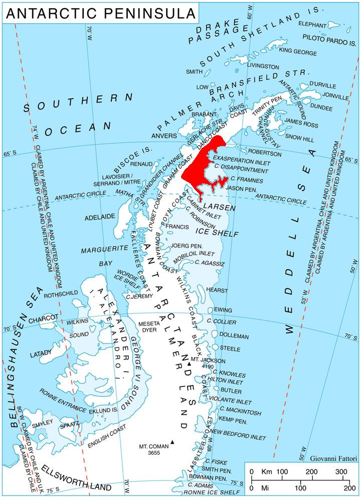
Hitov Spur is located at 64°47′57″S 61°53′23″W, which is 16.5 km northwest of Mount Quandary, 6.3 km north of Marchaevo Peak in Zagreus Ridge, 6.35 km east-northeast of Mount Walker, and 12.7 km southeast of Pishtachev Peak on Danco Coast. British mapping in 1978.
Maps
References
Hitov Spur Wikipedia(Text) CC BY-SA