
Time zone CET/CEST (UTC+1/+2) Area 24.12 km² Local time Sunday 5:26 AM Dialling code 036644 | Elevation 454 m (1,490 ft) Postal codes 07927 Population 2,488 (31 Dec 2008) Postal code 07927 | |
 | ||
Weather -1°C, Wind S at 6 km/h, 91% Humidity | ||
Hirschberg is a town in the Saale-Orla-Kreis district, in Thuringia, Germany. It is situated on the river Saale, 20 km south of Schleiz, 12 km northwest of Hof (Bavaria), and 25 km southwest of Plauen (Saxony).
Contents
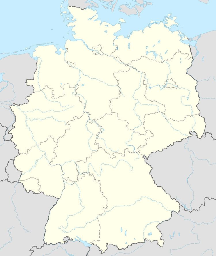
- Map of Hirschberg Germany
- Demographics politics and government
- Annexation of Subdivisions
- Population
- References
Map of Hirschberg, Germany
Demographics, politics and government
Hirschberg is located next to the motorway A 9 (Berlin – Munich). The city includes the subdivisions: Juchhöh, Göritz, Sparnberg, Ullersreuth and Venzka.
Annexation of Subdivisions
The dates into the brackets are the first documentary citations.
Population
Trend of population figures (reference is starting at 1994):
References
Hirschberg, Thuringia Wikipedia(Text) CC BY-SA