
PIN 816104 (Hiranpur) Elevation 30 m Population 84,079 (2011) | Time zone IST (UTC+5:30) Telephone/STD code 06435 Area code 06435 | |
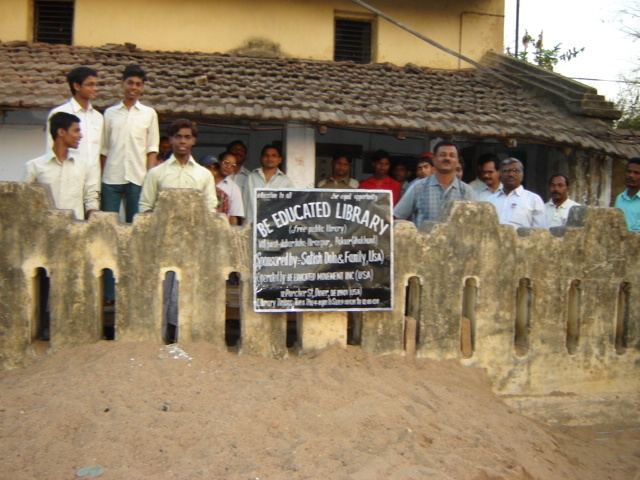 | ||
Hiranpur is a community development block that forms an administrative division of Pakur district, Jharkhand state, India. It is located 19 km from Pakur, the district headquarters.
Contents
- Map of Hiranpur Jharkhand 816104
- Geography
- Demographics
- Literacy
- Predominantly agricultural district
- Stone chips industry
- References
Map of Hiranpur, Jharkhand 816104
Geography
Hiranpur, the eponymous CD Block headquarters, is located at 24°42′22″N 87°42′16″E.
Hiranpur CD Block covers an area of 169.60 km2 and has 14 panchayats, 118 inhabited (chiragi) villages and 15 uninhabited (bechiragi) villages.
Demographics
As per 2011 Census of India, Hiranpur CD Block had a total population of 84,079, all of which were rural. There were 42,506 (51%) males and 41,573 (49%) females. Population below 6 years was 16,439. Scheduled Castes numbered 4,186 and Scheduled Tribes numbered 33,195.
In 2011, Hiranpur Khas had a population of 1,135. There are several villages surrounding it (2011 population in brackets): Hat Kathi (3,747), Sundarpur (2,611), Baramasia (1,423) and Ranipur (766).
In 2001 census, Hindus constituted 57.22%, Muslims 25.09% and Christians 6.35% of the population in Hiranpur CD Block. In the district as a whole Hindus constituted 44.45%, Muslims 32.74% and Christians 6.01% of the population.The percentage of scheduled tribes in the population of Hiranpur CD block was 41.42%. In the district as a whole scheduled tribes constituted 44.59% of the population. Around 85% of the tribal population was composed of Santhals. There are two primitive groups – Mal Paharias and Sauria Paharias.
Literacy
As of 2011 census, the total number of literates in Hiranpur CD Block was 35,137 (51.95 % of the population over 6 years) out of which 21,491 (61%) were males and 13,646 (39 %) were females.
As of 2011 census, literacy in Pakur district was 48.82.Literacy in Jharkhand (for population over 7 years) was 66.41% in 2011.Literacy in India in 2011 was 74.04%.
Predominantly agricultural district
Pakur is predominantly a hilly district. There is a narrow fertile alluvial tract bordering the Ganges Feeder Canal. While the hills stretch from the north to the south-east, the rest is rolling area, which is less conducive to agricultural operations than the alluvial strip. The net sown area of the district is around 28%. Thus though the district is predomnantly agricultural it offers only limited opportunities to the people. Many people from the district migrate to the neighbouring districts of West Bengal during the agricultural seasons.
Stone chips industry
Pakur is a centre of mining of black stone which is in great demand in the construction industry. There are four circles for mining of stone – Pakur, Hiranpur, Mahespur and Pakuria. Stone chips are mined in Hiranpur circle at villages such as Anguthia, Belpahari, Bhandaro, Bishanpur, Dharni Pahar, Dhowapahar, Fatehpur, Ganeshpur, Hathigarh, Harinduba, Jiyajori, Karanpura, Maharo, Mansighpur, Murgadanga, Pipaljoria, Pokharia, Pratappur, Ramakura, Rani Kola, Rajipur, Shiwlidanga, Silpahari, Suraidanga, Shaharpur, Talpahari and Vanpohira.