
PIN 532 459 Area 255 ha Local time Sunday 8:13 AM | Time zone IST (UTC+5:30) Vehicle registration AP Population 6,603 (2011) | |
 | ||
Weather 27°C, Wind NW at 3 km/h, 77% Humidity | ||
Hiramandalam is a census town in Srikakulam district of the Indian state of Andhra Pradesh. It is also the mandal headquarters of Hiramandalam mandal in Palakonda revenue division.
Contents
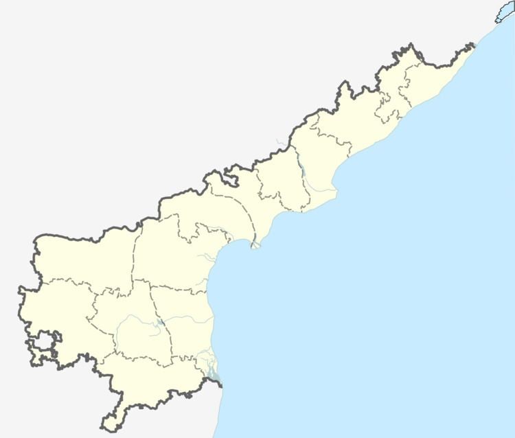
Map of Hiramandalam, Andhra Pradesh 532459
Geography
Hiramandalam is located at 18.6667°N 83.9500°E / 18.6667; 83.9500. It has an average elevation of 27 meters (91 feet).
Demographics
According to Indian census, 2001, the demographic details of Hiramandalam mandal is as follows:
Education
The primary and secondary school education is imparted by government, aided and private schools, under the School Education Department of the state. The medium of instruction followed by different schools are English, Telugu.
References
Hiramandalam Wikipedia(Text) CC BY-SA