
Elevation 1,986 m | ||
 | ||
Prominence 1,986-1,031 m ↓ Wechsel Similar Veitsberg, Schinder, Großer Traithen, Trainsjoch, Rotwand | ||
Hinteres sonnwendjoch bergwanderung mangfallgebirge
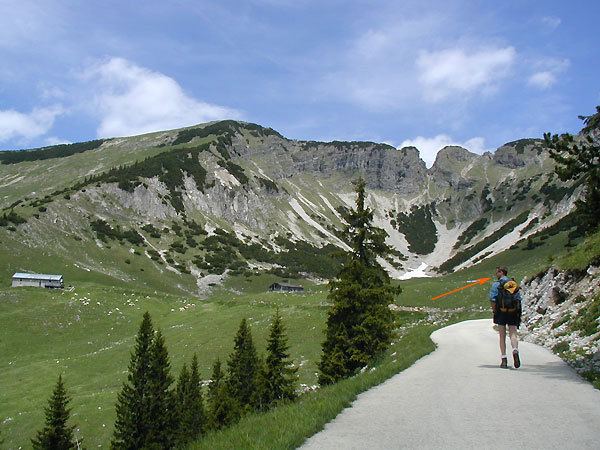
The Hinteres Sonnwendjoch in the Austrian state of Tyrol is a mountain, 1,986 m (AA), and the highest peak of the Mangfall range, a subdivision of the Bavarian Prealps. Because the Brandenberg Alps to the south are lower, its summit offers outstanding views of the Central Alps despite its low elevation. The Hinterer Sonnwendjoch drops away steeply to the north into the Grund. The summit is made of main dolomite and, on the south side, of plattenkalk.
Contents
- Hinteres sonnwendjoch bergwanderung mangfallgebirge
- Map of Hinteres Sonnwendjoch 6335 Austria
- Zum gipfel des hinteres sonnwendjochs 1986m mehr als aussicht mangfallgebirge hd
- References
Map of Hinteres Sonnwendjoch, 6335, Austria
A long, but easy mountain hike from Valepp (890 m) in Bavaria leads up to the Bärenbadalm (1,590 m) and on to the summit. Considerably shorter, but also easy is the climb from Ackernalm (1,383 m) south of the massif, which is easily reached on the toll road from Bayrischzell or Kufstein.
Zum gipfel des hinteres sonnwendjochs 1986m mehr als aussicht mangfallgebirge hd
References
Hinteres Sonnwendjoch Wikipedia(Text) CC BY-SA