
Time zone CET (UTC+1) Elevation 672 m Population 2,353 (1 Apr 2009) Postal code 9562 | Website www.himmelberg.at Area 56.85 km² Local time Saturday 10:30 PM | |
 | ||
Weather 4°C, Wind NE at 3 km/h, 53% Humidity | ||
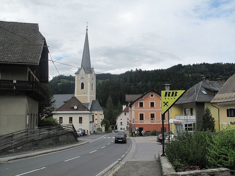
Himmelberg (Slovene: Sokolovo ) is a town in the district of Feldkirchen in the Austrian state of Carinthia in Austria.
Contents
Map of Himmelberg, Austria
Geography
Himmelberg lies in the center of Carinthia northwest of Feldkirchen. It lies in the Tiebel valley. The highest point in the municipality is the Hoferalmkopf (el. ca. 1600 ) in the northwest. The lowest point is the Tiebel (el. 625) in the south of the municipality.
References
Himmelberg Wikipedia(Text) CC BY-SA