
Admin. region Middle Franconia Elevation 380 m (1,250 ft) Area 91.42 km² Local time Saturday 9:07 PM Dialling code 09174 | District Roth Time zone CET/CEST (UTC+1/+2) Population 13,226 (31 Dec 2008) Postal code 91161 Administrative region Middle Franconia | |
 | ||
Weather 4°C, Wind E at 3 km/h, 73% Humidity | ||
Hilpoltstein is a town in the district of Roth, in Bavaria, Germany. It is situated 10 km southeast of Roth bei Nürnberg and 30 km south of Nuremberg, close to the lake 'Rothsee.
Contents
Map of 91161 Hilpoltstein, Germany
History
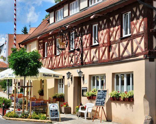
Sights
Personalities
Annual Events
References
Hilpoltstein Wikipedia(Text) CC BY-SA