Country United States GNIS feature ID 494271 Zip code 41049 Area code 606 | Time zone Eastern (EST) (UTC-5) Elevation 263 m Local time Saturday 2:06 PM | |
 | ||
Weather 2°C, Wind N at 11 km/h, 32% Humidity | ||
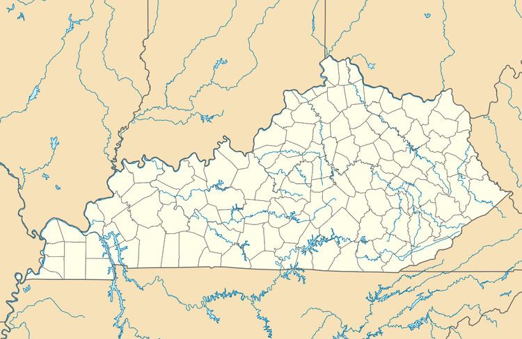
Hillsboro is an unincorporated community in Fleming County, Kentucky, United States. Hillsboro is located at the junction of Kentucky Route 111 and Kentucky Route 158, 9.8 miles (15.8 km) south-southeast of Flemingsburg.
Contents
Map of Hillsboro, KY 41049, USA
History
First called Foudraysville for the Foudray family of early settlers, it was renamed Hillsboro when the post office opened in 1833.
Hillsboro Covered Bridge, which is listed on the National Register of Historic Places, is located in Hillsboro.
References
Hillsboro, Kentucky Wikipedia(Text) CC BY-SA
