
Country New Zealand Local time Sunday 4:14 AM | ||
 | ||
Weather 21°C, Wind N at 14 km/h, 92% Humidity | ||
Hikutaia is a locality on the Hauraki Plains of New Zealand. It lies on State Highway 26, south east of Thames and north of Paeroa. The Hikutaia River runs from the Coromandel Range through the area to join the Waihou River.
Contents
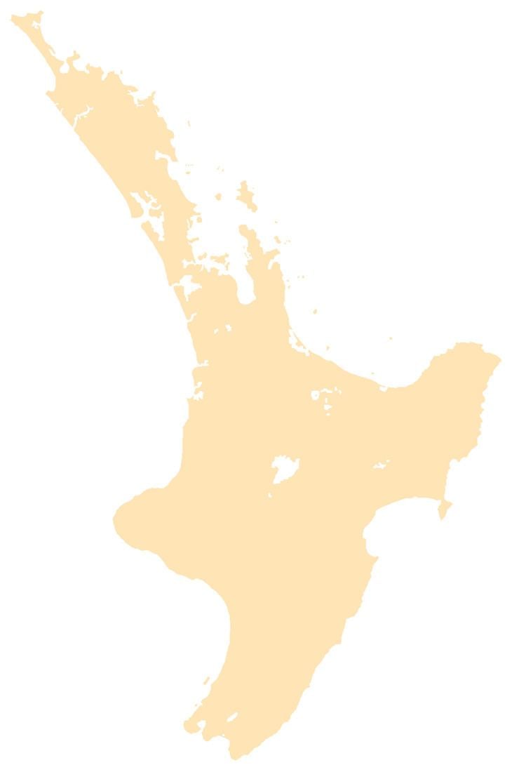
Map of Hikutaia 3674, New Zealand
History
The area has a rich history of Māori settlement, with several pā in the vicinity. The local iwi are Ngāti Maru and Ngāti Paoa.
James Cook and Joseph Banks rowed up the Waihou River on 20 November 1769 and disembarked near Hikutaia. They were impressed by the kahikatea which formed a dense forest in the area. Banks described it as "the finest timber my Eyes ever beheld".
In 1794, acting on Cook's description of the forest, Captain Dell and his crew of the ship Fancy camped in a place they called Graves End, which is now Hikutaia, and took 213 kahikatea trees with assistance from local Māori. At least five ships came for more timber by the end of the century. Four Europeans were living at Hikutaia in 1799, assisting the trade in timber and the sale of Māori labour. These men lived with and married Māori. Cultural misunderstandings between traders and Māori sometimes led to violence.
Hikutaia was known for its cheese factory in the mid 1960s.
Education
Hikutaia School is a coeducational full primary (years 1-8) school with a decile rating of 4 and a roll of 86.