
Length 206.8 km | ||
 | ||
Regions: Donbas, Donetsk Oblast, Luhansk Oblast | ||
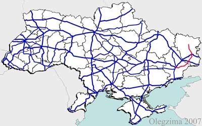
H21 is an important Ukraine national highway (H-highway) in the Donetsk Oblast and Luhansk Oblast of Donbas, Ukraine. It connects Donetsk through Luhansk with Starobilsk. H21 runs both, west-east between Donetsk and Luhansk, and south-north between Luhansk and Starobilsk. It passes either through or near Makiivka, Kolosnykove, Khartsyzk, Zuhres; Serdyte, Molodetske, and Shakhtarsk in Shakhtarsky; Torez, Snizhne, Miusynsk, Krasnyi Luch; Ivanivka and Malomykolaivka in Antratsitivsky; Myrne, Uspenka, Lutuhyne, and Heorhiivka in Lutuhynsky; Luhansk; Metalisk, Stukalova Balka, and Lyman-Tsvitni Pisky-Svitle in Slovianoserbsky; Shchastya; Mykhailivka in Troitsky; Novoaidar, Denezhnykove, and Peremorzhne-Shtormove in Novoaidarsky; Shul'hynka in Markivsky, Baidivke, and Polovynkyne in Starobilsky.
Contents
War in Donbas
Significant armed conflict has occurred along and near H21 during the War in Donbas.
Main route
Main route and connections to/intersections with other highways in Ukraine.