
Length 205 km | ||
 | ||
Major cities | ||
Highway 4 (Hebrew: כּֽבִישׁ אַרְבַּע, Kvish Arba' ) is an Israeli highway that runs along Israel's entire coastal plain of the Mediterranean Sea, its route in the north runs from the Rosh HaNikra border crossing with Lebanon until the Erez Border Crossing with the Gaza Strip. The highway follows in part the route of the ancient Via Maris.
Until the 1990s and the withdrawal of Israel Defense Forces from most of the Gaza Strip due to the Oslo Accords, Highway 4 continued all the way until Rafah and the Egyptian border. The part of the remaining highway in the Gaza Strip is called Salah al-Din Road.
Although the highway is continuous, it is generally considered to be divided into five sections, each with its own nickname and characteristics such as a differing number of lanes and speed limits:
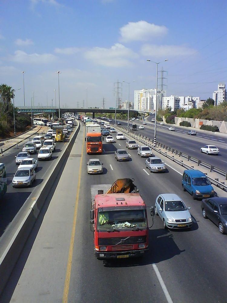
The Tel Aviv - Ashdod and Geha sections are freeways. The rest of the highway consists of multiple lanes in each direction except between Rosh HaNikra and Nahariya and between Tirat Carmel just south of Haifa and Fureidis which have a single lane of traffic in each direction. While there have been multiple proposals to widen the Haifa-Fureidis section, these have so far been blocked due to opposition from nearby residents who would like the highway in the area to retain its current rural character.
Current and planned construction
As of July 2013, the Morasha Interchange with Highway 5 and the Dror Junction with Route 553 are being rebuilt to eliminate traffic lights which impede traffic along Highway 4. The latter is planned to be completed in 2014.