
Country United States County Luzerne Time zone Eastern (EST) (UTC-5) Zip code 18661 Population 562 (2010) | State Pennsylvania Local time Friday 9:04 PM | |
 | ||
Weather -7°C, Wind NW at 21 km/h, 63% Humidity Area 3.652 km² (3.626 km² Land / 2 ha Water) | ||
Hickory Hills is a census-designated place (CDP) in Foster Township, Luzerne County, Pennsylvania, United States, southwest of the borough of White Haven. The CDP population was 562 at the 2010 census.
Contents
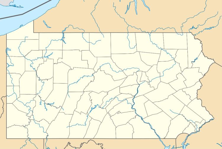
Map of Hickory Hills, Foster Township, PA 18661, USA
Geography
Hickory Hills is located at 41°2′3″N 75°49′14″W.
According to the United States Census Bureau, the CDP has a total area of 1.4 square miles (3.7 km2), of which 1.4 square miles (3.6 km2) is land and 0.008 square miles (0.02 km2), or 0.57%, is water. Pennsylvania Route 940 forms the northern edge of the CDP, connecting it with White Haven to the northeast and Freeland to the southwest.
References
Hickory Hills, Pennsylvania Wikipedia(Text) CC BY-SA