
Elevation 1,167 m | Topo map USGS Fried Liver Wash | |
 | ||
Similar Pinto Mountains, Malapai Hill, Porcupine Wash, Stepladder Mountains, Oasis Visitor Center | ||
The Hexie Mountains are a desert mountain range located in Joshua Tree National Park, in southern California.
Contents
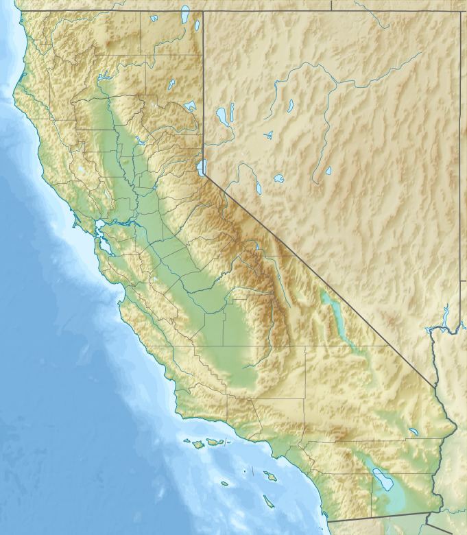
Map of Hexie Mountains, California, USA
GeographyEdit
The range is located in the higher northern Mojave Desert area of the park. They are north of the Cottonwood Mountains, and south of the Pinto Mountains. The Eagle Mountains lie to the east of the Hexie Mountains.
Natural historyEdit
Numerous washes drain the Hexie Mountains, including Porcupine Wash and Fried Liver Wash. These host a mixture of low and high desert animals and plants. A herd of desert bighorn sheep also live there.
HistoryEdit
There were attempts to mine and mill gold at many sites, including Ruby Lee Mill, and none were successful. Native petroglyphs can also be found in the Hexie Mountains.
References
Hexie Mountains Wikipedia(Text) CC BY-SA