
Country France Area 34.56 km² Population 434 (1999) | Intercommunality Sud-Ouest Amiénois Local time Friday 5:08 PM | |
 | ||
Weather 13°C, Wind S at 13 km/h, 74% Humidity | ||
Hescamps is a commune in the Somme department in Hauts-de-France in northern France.
Contents
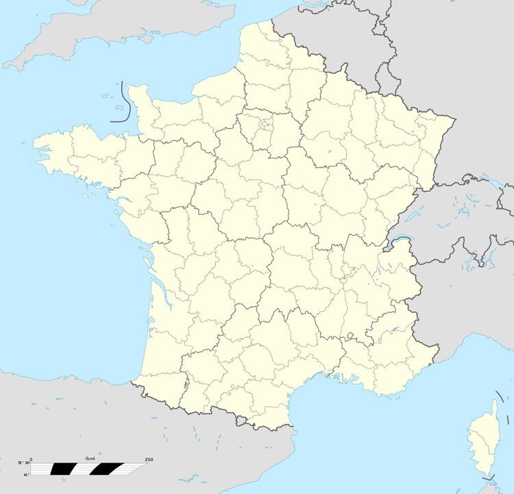
Map of 80290 Hescamps, France
Geography
Hescamps is situated on the D257 road, some 22 miles (35 km) southwest of Amiens.
The Plateau Picard near the border between the departments of the Somme, the Oise and the Seine-Maritime, easily accessible via the old national road 15a (now DR 1015) and 319 (now DR 919), or by Highway A29 .
It is located within walking distance of train stations in St. Segrée and Fouilloy.
The common Hescamps is constituted by the four former municipalities of the Somme in 1972:
The stream of Évoissons rises to Handicourt.
References
Hescamps Wikipedia(Text) CC BY-SA