
Population 6,257 (2001) Sovereign state United Kingdom Local time Friday 2:07 PM | OS grid reference TR204620 Post town CANTERBURY Dialling code 01227 | |
 | ||
Weather 10°C, Wind S at 16 km/h, 85% Humidity | ||
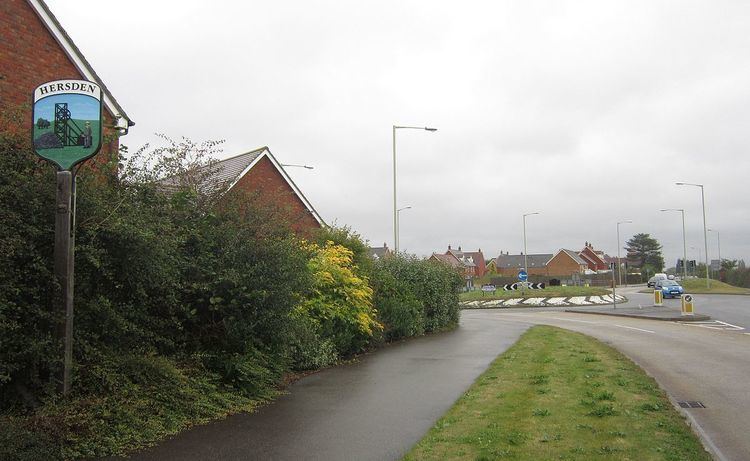
Hersden is a village east of Canterbury in Kent, South East England. It is established as a planned coalmining village dating from the 1920s, on the A28 road between Canterbury and the Isle of Thanet. It lies in the civil parish of Sturry(where the population is included), bordering the parish of Westbere, and work in Kent Coalfield remained the main source of employment for the male residents of the village until the closure of the Kent colliery in the 1980s.
Contents
Map of Hersden, Canterbury, UK
History
A 5th-6th century cemetery of Frisians and Jutes was discovered nearby in 1931.
Exploratory works for a Channel Tunnel at Shakespeare Cliff near Dover led to the identification of the Kent Coalfield in 1890. Its northern extension came after coal was discovered at Chislet in 1918. Initially the miners lived in Ramsgate but in 1924 the Chislet Colliery Housing Society was formed to build a mining village of 300 houses, which became Hersden. The mine closed in 1969 but the Chislet Colliery Welfare Club remains.
Amenities
Now, there is a Chinese restaurant, the village hall which houses a social club and recently a large and impressive B.M.X track was built. There are two churches in Hersden; Hersden Church (a former Anglican and Methodist which now is used as a community centre - the congregation has moved to Sturry Church) and St Dunstan, the Roman Catholic Parish church which opened in 1935.