
Admin. region Tübingen Elevation 770 m (2,530 ft) Area 21.81 km² Population 2,650 (31 Dec 2008) Dialling code 07389 | District Alb-Donau-Kreis Time zone CET/CEST (UTC+1/+2) Local time Friday 1:22 PM Postal code 72535 Administrative region Tübingen | |
 | ||
Weather 6°C, Wind NW at 14 km/h, 57% Humidity | ||
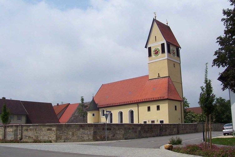
Heroldstatt is a village in the district of Alb-Donau in Baden-Württemberg in Germany.
Contents
- Map of 72535 Heroldstatt Germany
- Geography
- Neighboring communities
- Municipality arrangement
- Ennabeuren
- Sontheim
- Heroldstatt
- Breithlen
- Lookout
- Wind power test field
- Natural monuments
- Literatur
- References
Map of 72535 Heroldstatt, Germany
Geography
Heroldstatt is located on the Swabian Jura about 25 kilometers west of Ulm.
Neighboring communities
The municipality borders in the north and east to the town of Laichingen, in the southeast to the town of Blaubeuren , in the south to the town of Schelklingen (all Alb-Donau-district) and in the west to Gutsbezirk Münsingen (district Reutlingen).
Municipality arrangement
The municipality consists of the two districts Ennabeuren and Sontheim and the allotment Breithülen.
Ennabeuren
A documentary mention was made in 1092 to a nobleman Egilolf Oninburrin. In 1806, the village had around 300 Protestant and 200 Catholic residents. Ennabeuren lost in 1895 and 1938 a total of 940 hectares - about half of the municipal area - to the military training area Münsingen.
Sontheim
During the Reformation the village received in 1537 its own parish. By 1800 it had about 420 inhabitants.
Heroldstatt
The two previously independent municipalities joined as part of the municipal reform on October 1, 1973 together. About halfway between the village centers a new community center with the mountain hall (multi-purpose hall, 1984, extended in 2000) and the town hall (1987) was erected.
Breithülen
The 77.5 hectare and 64 inhabitants allotment Breithülen was incorporated to Heroldstatt on January 1, 2011.
Lookout
Wind power test field
Northeast of the town there is a testing ground for Wind turbines. To this belongs a 1989 erected Enercon E-17 with 28 m hub height, 17 m rotor diameter and 80 kW power and a 25 m high Darrieus rotor with 15 m diameter which has an output of 55 kW.