
Country United States Area code(s) 207 Elevation 82 m Population 5,416 (2010) | Time zone Eastern (EST) (UTC-5) FIPS code 23-32510 Zip code 04401 Local time Friday 5:03 AM | |
 | ||
Weather -8°C, Wind NW at 10 km/h, 53% Humidity | ||
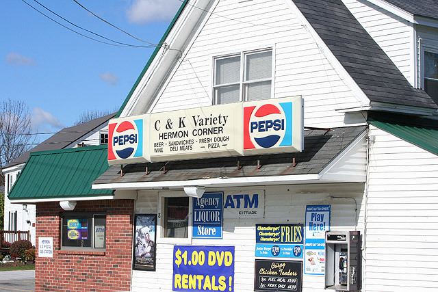
Maine gun dealer hermon maine stocking gun shop near bangor large inventory of guns
Hermon is a town in Penobscot County, Maine, United States. The population was 5,416 at the 2010 census.
Contents
- Maine gun dealer hermon maine stocking gun shop near bangor large inventory of guns
- Map of Hermon ME USA
- Geography
- Historic building
- 2010 census
- 2000 census
- Points of interest
- References
Map of Hermon, ME, USA
Geography
According to the United States Census Bureau, the town has a total area of 36.81 square miles (95.34 km2), of which, 35.87 square miles (92.90 km2) of it is land and 0.94 square miles (2.43 km2) is water.
Historic building
The District No. 5 Schoolhouse (1880) is listed on the National Register of Historic Places.
2010 census
As of the census of 2010, there were 5,416 people, 2,075 households, and 1,548 families residing in the town. The population density was 151.0 inhabitants per square mile (58.3/km2). There were 2,210 housing units at an average density of 61.6 per square mile (23.8/km2). The racial makeup of the town was 97.7% White, 0.4% African American, 0.4% Native American, 0.4% Asian, 0.1% from other races, and 1.0% from two or more races. Hispanic or Latino of any race were 1.0% of the population.
There were 2,075 households of which 33.6% had children under the age of 18 living with them, 62.0% were married couples living together, 8.6% had a female householder with no husband present, 4.0% had a male householder with no wife present, and 25.4% were non-families. 18.0% of all households were made up of individuals and 7.3% had someone living alone who was 65 years of age or older. The average household size was 2.61 and the average family size was 2.95.
The median age in the town was 40.4 years. 23.7% of residents were under the age of 18; 7.3% were between the ages of 18 and 24; 26.6% were from 25 to 44; 30.4% were from 45 to 64; and 12% were 65 years of age or older. The gender makeup of the town was 49.3% male and 50.7% female.
2000 census
As of the census of 2000, there were 4,437 people, 1,666 households, and 1,294 families residing in the town. The population density was 123.5 people per square mile (47.7/km²). There were 1,748 housing units at an average density of 48.7 per square mile (18.8/km²). The racial makeup of the town was 98.08% White, 0.16% African American, 0.29% Native American, 0.43% Asian, 0.02% Pacific Islander, 0.09% from other races, and 0.92% from two or more races. Hispanic or Latino of any race were 0.52% of the population.
There were 1,666 households out of which 39.0% had children under the age of 18 living with them, 65.5% were married couples living together, 8.8% had a female householder with no husband present, and 22.3% were non-families. 16.7% of all households were made up of individuals and 6.5% had someone living alone who was 65 years of age or older. The average household size was 2.66 and the average family size was 2.98.
In the town, the population was spread out with 27.1% under the age of 18, 6.0% from 18 to 24, 32.0% from 25 to 44, 25.0% from 45 to 64, and 9.9% who were 65 years of age or older. The median age was 37 years. For every 100 females there were 94.2 males. For every 100 females age 18 and over, there were 91.9 males.
The median income for a household in the town was $47,206, and the median income for a family was $50,500. Males had a median income of $34,620 versus $23,958 for females. The per capita income for the town was $19,714. About 4.4% of families and 6.6% of the population were below the poverty line, including 6.1% of those under age 18 and 5.4% of those age 65 or over.