
Closed 1938 | Opened 1936 | |
 | ||
Weather -16°C, Wind N at 14 km/h, 70% Humidity | ||
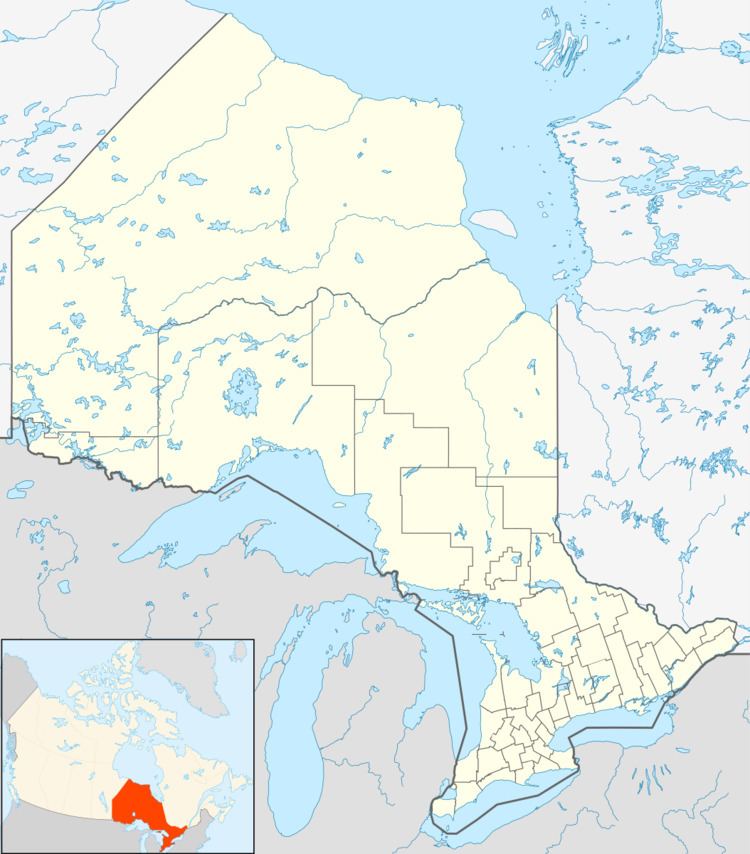
Hermiston-McCauley Mine is a large abandoned underground gold mine in Strathy Township of Temagami, Northeastern Ontario, Canada. It is located between the southwestern arm of Net Lake and the south arm of Kanichee Lake.
Contents
History
Hermiston-McCauley was the subject of quartz reef mining. From 1936 to 1938, a 115.1 m (378 ft) three compartment mine shaft was created. Three levels were created, two of which had 1,853.1 m (6,080 ft) of lateral work.
Geology
Hermiston-McCauley Mine is on the northwestern side of the Net Lake-Vermilion Lake Deformation Zone. This is a northeast-southwest trending high strain zone that separates rocks of the Older and Younger volcanic complexes, which in turn comprise the Temagami Greenstone Belt.
Reserves at Hermiston-McCauley have been variously estimated at 31,000 tons averaging 0.275 oz (7.8 g) of gold per ton, 45,700 tons averaging 0.30 oz (8.5 g) of gold per ton over 1 m (3.3 ft), or 9,000 tons averaging 0.5 oz (14 g) of gold per ton over 0.91 m (3.0 ft). A main and subsidiary quartz-rich zone occur in a ruptured diorite intrusion, which intrudes felsic volcanic rocks in a northwesterly direction with the strike of the Net Lake-Vermilion Lake Deformation Zone. The main quartz vein is at least 76.1 m (250 ft) long and up to 1.5 m (4.9 ft) wide. Pyrite with chalcopyrite and gold occupies quartz veins as blebs and small veins.