
Vehicle registration HF | Time zone CET (UTC+1) Population 249,020 (31 Dec 2010) Administrative region Detmold | |
 | ||
Points of interest Clubs and Teams SV Rödinghausen, SC Herford, Herforder SV Borussia, TuS Spenge | ||
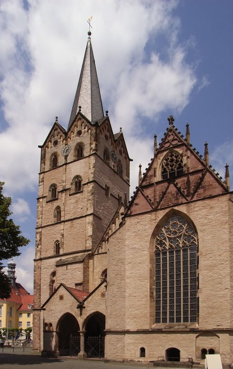
Herford ( [ˈhɛʁfɔʁt]) is a Kreis (district) in the northeastern part of North Rhine-Westphalia, Germany. Neighboring districts are Minden-Lübbecke, Lippe, the urban district of Bielefeld, and the districts Gütersloh and Osnabrück.
Contents
Map of Herford, Germany
History
The region is also known as Wittekind's land, as the last fights of Wittekind's Saxon tribes against Charlemagne took place here. He is believed to be buried in the town of Enger.
When the area became part of the Prussian province Westphalia, the first district Herford was created in 1816. In 1832 it was merged with the district Bünde. In 1911, the city of Herford left the district; however, it lost its status as an independent urban district in 1969. The district reached its current size in 1973 when the municipality Uffeln, which was formerly in the district Minden, was merged into the city Vlotho.
Geography
The district is located between the three mountain chains of the Wiehen Hills in the north and the Teutoburg Forest in the south. To the northeast it is bounded by the Weser river.