Country United States Time zone CST (UTC-6) Elevation 236 m Local time Thursday 6:08 PM | Established September 1866 GNIS feature ID 0429129 Area 78.11 km² Population 1,278 (2010) | |
 | ||
Weather 10°C, Wind N at 26 km/h, 41% Humidity | ||
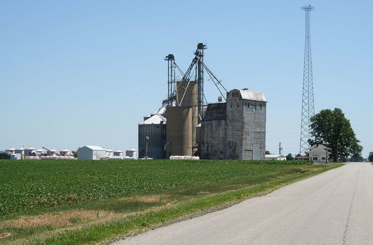
Hensley Township is a township in Champaign County, Illinois, USA. As of the 2010 census, its population was 1,278 and it contained 542 housing units.
Contents
- Map of Hensley Township IL 61822 USA
- History
- Geography
- Cities and towns
- Unincorporated towns
- Cemeteries
- Major highways
- Airports and landing strips
- References
Map of Hensley Township, IL 61822, USA
History
Hensley Township formed from Champaign Township in September, 1866 as Grant Township, but the name was changed to Hensley on an unknown date.
Geography
According to the 2010 census, the township has a total area of 30.16 square miles (78.1 km2), all land. The source of the Kaskaskia River is located in section 19 of this township, rising from the Kaskaskia ditch.
Cities and towns
Unincorporated towns
Cemeteries
The township contains seven cemeteries: Bethlehem[2], Fisher[3], George Peters Family, Grandview Memorial Gardens[4], Gregory Burial and Haines Family.
Major highways
Airports and landing strips
References
Hensley Township, Champaign County, Illinois Wikipedia(Text) CC BY-SA
