Country United States Time zone CST (UTC-6) Elevation 218 m Local time Wednesday 6:31 PM | Established November 8, 1859 GNIS feature ID 0428786 Area 48.28 km² Population 10,834 (2010) | |
 | ||
Weather 11°C, Wind W at 11 km/h, 39% Humidity | ||
Champaign Township is a township in Champaign County, Illinois, USA. As of the 2010 census, its population was 10,834 and it contained 4,964 housing units. Champaign Township is coterminous with the City of Champaign. It is one of two coterminous townships in Champaign County and one of seventeen coterminous townships statewide.
Contents
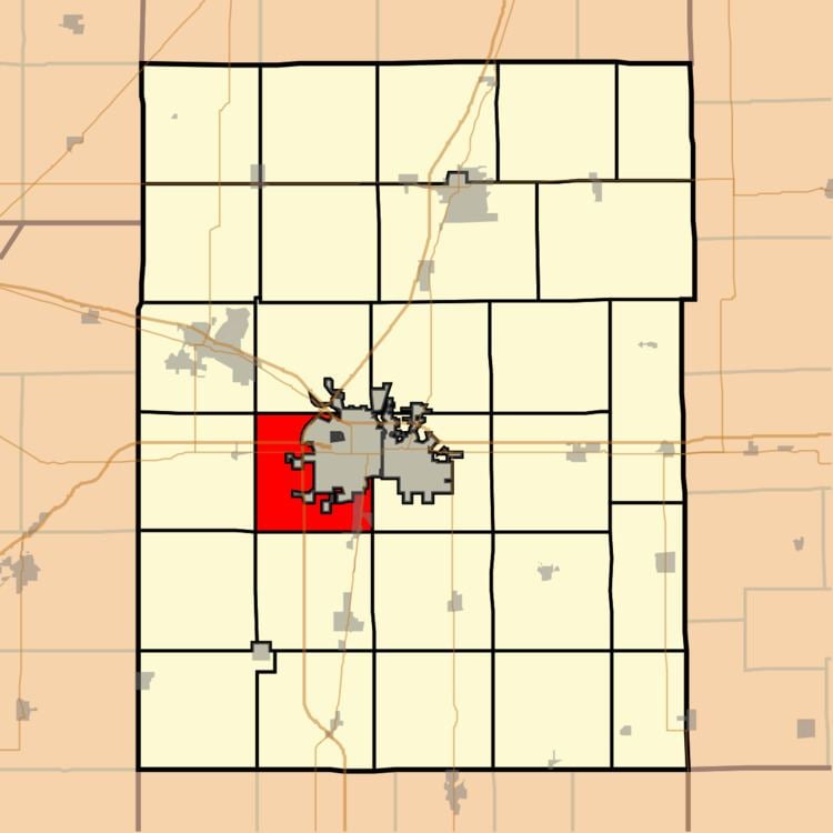
- Map of Champaign Township IL USA
- History
- Geography
- Cities and towns
- Unincorporated towns
- Major highways
- Airports and landing strips
- Economy
- References
Map of Champaign Township, IL, USA
History
Champaign Township changed its name from West Urbana Township on April 30, 1860.
Geography
According to the 2010 census, the township has a total area of 18.64 square miles (48.3 km2), of which 18.57 square miles (48.1 km2) (or 99.62%) is land and 0.07 square miles (0.18 km2) (or 0.38%) is water. The streams of Copper Slough and Phinney Branch run through this township.
Cities and towns
Unincorporated towns
(This list is based on USGS data and may include former settlements.)
Major highways
Airports and landing strips
Economy
In addition to the University of Illinois, Champaign Township is also home to a Kraft Foods plant (and adjacent AC Humko plant). The township's major employers include The University of Illinois, Champaign Unit #4 School District, and Kraft Foods. Numerous township residents are also employed by Parkland College, Kirby Foods, Christie Clinic, Devonshire Group LLC, Amdocs, Hobbico and Horizon Hobby, all of which are in the adjacent city of Champaign, Illinois, as well as by Carle Clinic Association and Provena Health, located in nearby Urbana, Illinois.
