
- right Beech Fork - elevation 673 ft (205 m) | - elevation 1,181 ft (360 m) | |
 | ||
The Henry Fork is a tributary of the West Fork Little Kanawha River, 21.8 miles (35.1 km) long, in west-central West Virginia in the United States. Via the West Fork and the Little Kanawha and Ohio rivers, it is part of the watershed of the Mississippi River, draining an area of 91 square miles (240 km2) in a rural region on the unglaciated portion of the Allegheny Plateau.
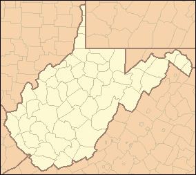
Map of Henry Fork, 4, WV, USA
The Henry Fork rises southeast of the community of Tariff in southeastern Roane County and flows generally northward, through Tariff and Linden. From the mouth of its tributary the Beech Fork, it flows along the boundary of Roane and Calhoun counties for the remainder of its course, to its mouth at Rocksdale, where it flows into the West Fork from the south.
References
Henry Fork (West Virginia) Wikipedia(Text) CC BY-SA