
Topo map USGS Sattley Range Sierra Nevada | Elevation 2,108 m Traversed by Henness Pass Road | |
 | ||
Similar Sierra Nevada, Bridgeport Covered Bridge, Beckwourth Pass, Luther Pass, Donner Pass | ||
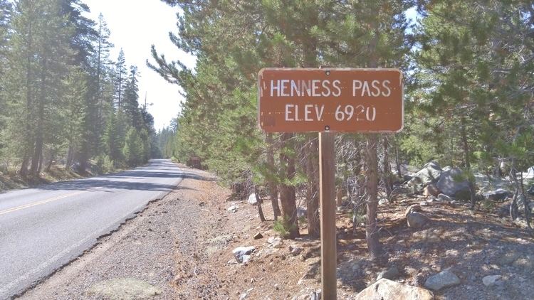
Henness Pass, elevation 6,916 ft (2,108 m), is a mountain pass northwest of Reno on the crest of the Sierra Nevada range in Sierra County, California. The pass is traversed by Henness Pass Road, a mostly unpaved road not generally passable by automobiles in winter. Portions of the road are recommended for high clearance vehicles only.
Map of Henness Pass, California 96126, USA
Like most of the well-known Sierra Nevada passes, it lies on the Great Basin Divide. Here, the Middle Yuba River flows west to the Pacific Ocean, and the Little Truckee River flows east into the Great Basin.
Historically, Henness Pass Road was a travel route used by Native Americans and then immigrants and local mining communities during the Gold Rush era. Beginning in the late 1850s, the road was a major supply route for the silver and gold mines in Nevada. Freight was brought by steamboat from San Francisco up the Sacramento River to Marysville. From there it was carried by wagons, with part of the route being via the Bridgeport Covered Bridge and the Virginia Turnpike, which connected to the road to Henness Pass at North San Juan.
Henness Pass is named for Patrick Henness, who is credited with developing the route in 1849 or 1850 as an alternative to Donner Pass. In 1855 the road was officially surveyed by D.B. Scott when the California Legislature passed An Act to Construct a Wagon Road over the Sierra Nevada range, but a route through El Dorado County approximating the current path of U.S. Route 50 was ultimately chosen.
The Henness Pass route was eclipsed by completion in 1868 of the First Transcontinental Railroad as far as Reno via Donner Pass. Henness Pass and its namesake road still provide the only crossing of any significance between Yuba Pass (State Route 49) to the north and Donner Summit (Interstate 80) to the south.