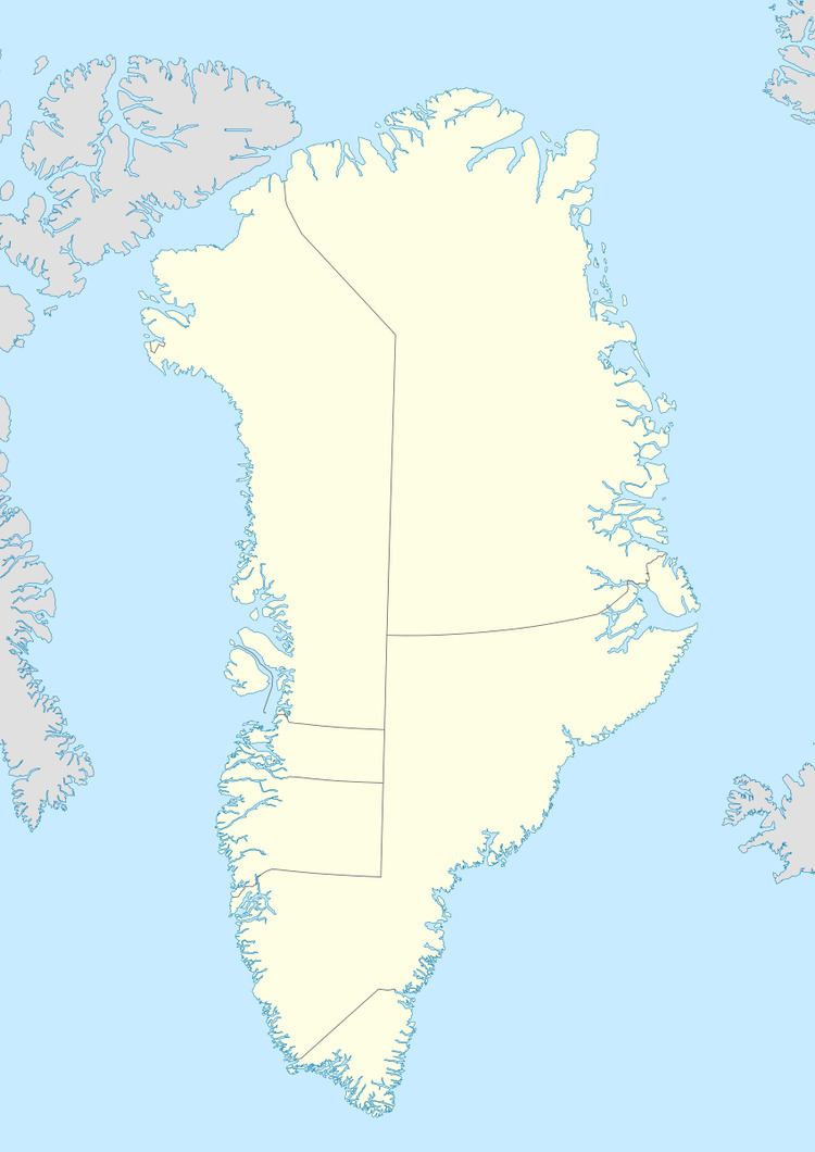
Width 8 km (5 mi) Population 0 Area 583 km² | Length 46 km (28.6 mi) Highest elevation 1,152 m (3,780 ft) Elevation 1,152 m | |
 | ||
Hendrik Island is an island in far northern Greenland. Its area is 583 km². The island is named after Inuit Arctic explorer Hans Hendrik, who accompanied the surveyors of the Second Grinnell Expedition in mid 19th century.
Contents
Map of Hendrik Island, Greenland
Geography
Hendrik Island is a large coastal island located between Saint George Fjord to the west and Sherard Osburn Fjord to the east. Its southern end faces the mouth of Hartz Sound, off the Warming Land Peninsula. The northernmost headland of the island is Dragon Point. Smaller Castle Island lies in Saint Andrew Bay off the northeastern shore of Hendrik Island.
The island is largely unglaciated except for small glaciers. It is mountainous, with a peak at its northern end reaching 1152 m. The sea around the island is rarely free from ice.
