
Width 61 km (37.9 mi) Municipality Qaasuitsup | Length 102 km (63.4 mi) Highest elevation 1,253 m (4,111 ft) Elevation 1,253 m | |
 | ||
Adjacent bodies of water St George FjordHartz Sound | ||
Worms armageddon global warming land
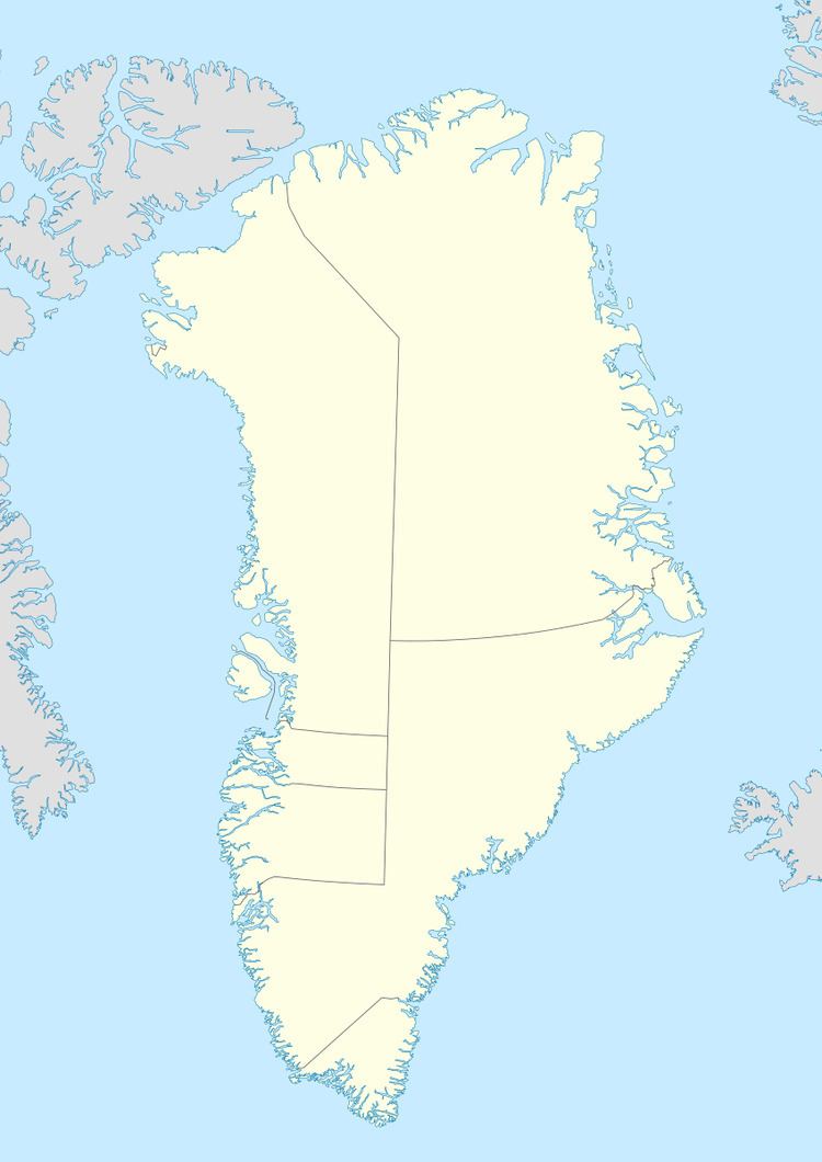
Warming Land is a peninsula in far northern Greenland. Administratively it is a part of the Qaasuitsup municipality. It was named after Danish botanist and ecologist Eugen Warming (1841 – 1924).
Contents
Geography
Warming Land is located between Nyeboe Land and Wulff Land. It is bounded by St George Fjord and the Steensby Glacier on its western side, and Hartz Sound —a branch of the Sherard Osborn Fjord, as well as the Ryder Glacier on the eastern. Midgårdsormen, an unglaciated section of the peninsula, is located at the southern end and to the south of it lies the Greenland Ice Sheet. Warming Land has two large firn caps in its central part, the Daniel Bruun Firn and the Rink Firn covering the highest parts of the peninsula.
References
Warming Land Wikipedia(Text) CC BY-SA