
Postcode(s) 6166 | Postal code 6166 | |
 | ||
Location 30 km (19 mi) SW of Perth | ||
Henderson is a suburb of Perth, Western Australia, located within the City of Cockburn.
Contents
Map of Henderson WA 6166, Australia
History
The suburb of Henderson comprises land resumed by the Commonwealth Government in 1915 for defence purposes. A large naval base was planned by Admiral Sir Reginald Friend Hannam Henderson, and the area was sometimes referred to as "Henderson's Naval Base". The name was approved for the suburb in 1973.
Geography
It is bounded by Russell Road to the north, Cockburn Sound to the west, the Perth freight railway line to the east, and Dalison Avenue and the municipal boundary with the City of Kwinana to the south.
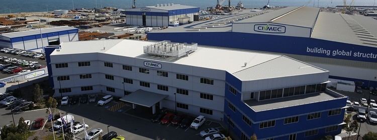
Australian Marine Complex
The Australian Marine Complex is located on Cockburn Sound, in Henderson and is considered one of the largest ship building precincts in Australia. It contains dry dock facilities and Australia's largest ship-lift (nominal lifting capacity of 8065 tonnes). Some of the companies located in the complex include Austal Ships and BAE Systems Australia. In 2002 the Government proposed to use Garden Island and the facilities at Henderson for the 'sea-swap' program with the United States Navy 7th Fleet.