
Location North-East Atlantic | ||
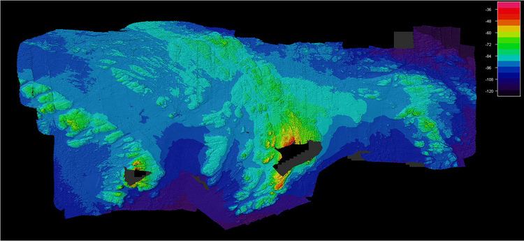 | ||
Helen's Reef is a series of skerries in the North Atlantic, 1.2 miles (2 km) to the north-east of the larger islet of Rockall and outcrop of Hasselwood Rock, within the United Kingdom's exclusive economic zone.
Map of Helen's Reef
Named for the brigantine Helen of Dundee, bound for Quebec, foundered at Hasselwood Rock in 1824; "the crew left most of the passengers to drown, including seven women and six children".
It is within the 12-nautical-mile (22 km; 14 mi) radius territorial waters of Rockall, which is claimed by the UK as of 1955 and incorporated into the UK by the Island of Rockall Act 1972. This claim was previously long disputed by Ireland, but the dispute is resolved as of 31 March 2014.
The skerries are covered at high tide or in rough seas, and are often only visible as breaking waves. In 1812 the survey vessel Leonidas foundered on the reef.
On 28 June 1904 the 3,318 ton DFDS steamer SS Norge, with 795 people including 240 children on board bound for New York, foundered on the reef. 635 lives were lost with most of the 163 survivors being taken to Stornoway. The wreck was found a century later in 48 metres (157 ft) of water.