
County Cumberland Time zone Eastern (EST) (UTC-5) Elevation 90 cm | GNIS feature ID 877035 Local time Sunday 4:51 AM | |
 | ||
Weather 3°C, Wind NE at 26 km/h, 87% Humidity | ||
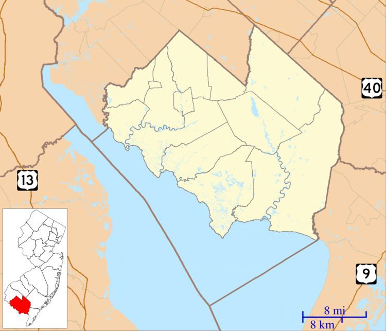
Heislerville is located in Maurice River Township, in Cumberland County, New Jersey, United States.
Map of Heislerville, Maurice River, NJ 08324, USA
Heislerville's population as of the 2010 Census was 451. There are approximately 200 housing units in its approximate nine-mile radius of which 8.1657 square miles is land and 0.0177 square miles is water. The community borders the Maurice River and Delaware Bay; bayshore areas are East Point and Thompson's Beach, now flooded by the state of New Jersey for use as a bird watch conservatory. The East Point Lighthouse was built in 1894, located on the northern side of Delaware Bay at the mouth of the circuitous Maurice River. The lighthouse is a restful place to fish or hike and is open a few days every year. It is still a working light house but remotely, it has not been manned for years.
Today, aside from truck gardens, small fishing operations, and a couple of marinas on state-leased land off Matt's Landing Road; the town has no shops or businesses. The major employer of townspeople is the state of New Jersey as Maurice River Township is home to three prisons; Bayside, South Woods, and Southern State. In addition to the Church, located within the community is the Heislerville Volunteer Fire Company.