Country United States Time zone Eastern (EST) (UTC-5) Zip code 40504 Area code 859 | Area 18 ha Population 285 (2000) | |
 | ||
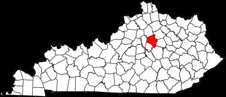
Headley Green is a neighborhood in southwestern Lexington, Kentucky, United States. It was built in the early 1990s from land that had previously been an 8-hole golf course for the Campbell House. Its boundaries are Mason Headley Road to the north, Cold Harbor Drive to the west, Laurel Hill Road to the south, and the St. Joseph Medical Office Complex to the east.
Contents
Map of Headley Green, Lexington, KY 40504, USA
Neighborhood statistics
References
Headley Green, Lexington Wikipedia(Text) CC BY-SA
