
Country United States County Aitkin FIPS code 27-28052 Elevation 385 m Local time Saturday 8:18 AM | Time zone Central (CST) (UTC-6) GNIS feature ID 0664432 Population 844 (2010) | |
 | ||
Weather -5°C, Wind NW at 16 km/h, 85% Humidity Area 183.4 km² (72.78 km² Land / 110.3 km² Water) | ||
Hazelton Township is a township in Aitkin County, Minnesota, United States. The population was 844 as of the 2010 census.
Contents
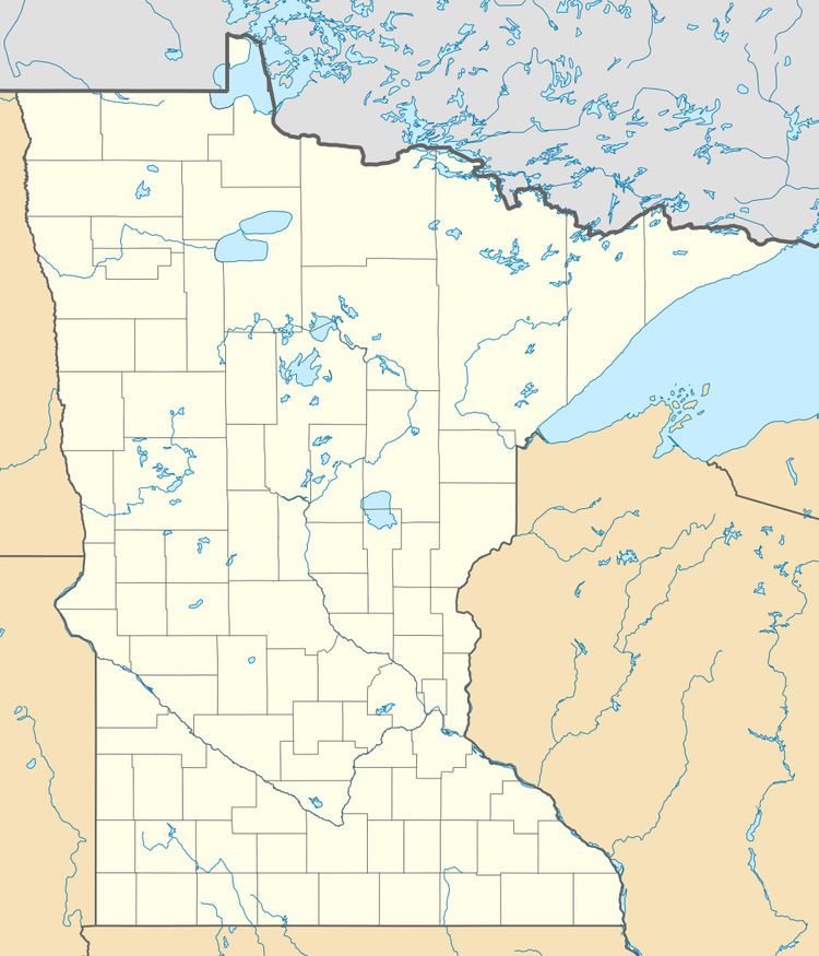
- Map of Hazelton Township MN 56431 USA
- History
- Geography
- Major highways
- Lakes
- Adjacent townships
- Cemeteries
- Demographics
- References
Map of Hazelton Township, MN 56431, USA
History
Hazelton Township was named for early county commissioner Cutler J. Hazelton.
Geography
According to the United States Census Bureau, the township has a total area of 70.8 square miles (183.3 km2), of which 28.1 square miles (72.9 km2) is land and 42.6 square miles (110.4 km2), or 60.24%, is water. Most of the township's extensive water area is within Mille Lacs Lake, the second-largest inland lake in Minnesota.
Major highways
Lakes
Adjacent townships
Cemeteries
The township contains Bennettville Cemetery.
Demographics
As of the census of 2000, there were 712 people, 345 households, and 233 families residing in the township. The population density was 25.3 people per square mile (9.8/km²). There were 850 housing units at an average density of 30.2/sq mi (11.7/km²). The racial makeup of the township was 96.21% White, 0.56% African American, 2.53% Native American, 0.14% from other races, and 0.56% from two or more races. Hispanic or Latino of any race were 0.14% of the population.
There were 345 households out of which 15.9% had children under the age of 18 living with them, 59.1% were married couples living together, 6.7% had a female householder with no husband present, and 32.2% were non-families. 28.7% of all households were made up of individuals and 15.9% had someone living alone who was 65 years of age or older. The average household size was 2.06 and the average family size was 2.44.
In the township the population was spread out with 13.9% under the age of 18, 4.4% from 18 to 24, 18.0% from 25 to 44, 34.7% from 45 to 64, and 29.1% who were 65 years of age or older. The median age was 54 years. For every 100 females there were 116.4 males. For every 100 females age 18 and over, there were 111.4 males.
The median income for a household in the township was $33,056, and the median income for a family was $35,577. Males had a median income of $35,263 versus $28,750 for females. The per capita income for the township was $20,731. About 6.3% of families and 10.4% of the population were below the poverty line, including 19.8% of those under age 18 and 4.0% of those age 65 or over.