 | ||
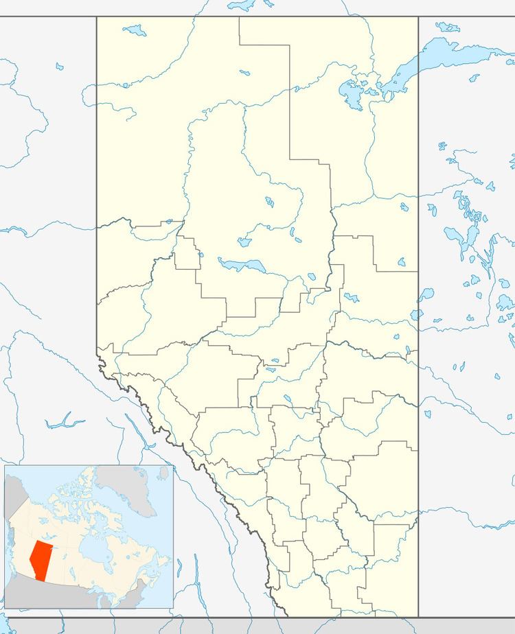
Haynes is a hamlet in central Alberta, Canada within Lacombe County. It is located 3 kilometres (1.9 mi) north of Highway 11, approximately 28 kilometres (17 mi) east of Red Deer.
Contents
Map of Haynes, AB, Canada
The hamlet takes its name from nearby Haynes Creek.
Demographics
As a designated place in the 2016 Census of Population conducted by Statistics Canada, Haynes recorded a population of 20 living in 8 of its 12 total private dwellings, a change of 7001333009999900000♠33.3% from its 2011 population of 15. With a land area of 0.27 km2 (0.10 sq mi), it had a population density of 74.1/km2 (191.9/sq mi) in 2016.
As a designated place in the 2011 Census, Haynes had a population of 15 living in 9 of its 9 total dwellings, a -40% change from its 2006 population of 25. With a land area of 0.25 km2 (0.097 sq mi), it had a population density of 60/km2 (155/sq mi) in 2011.
The population of Haynes according to Lacombe County's 2008 municipal census is 13.
