
Established 1858 Area 349.3 km² | Time zone AST (UTC-4) Population 1,158 (2011) | |
 | ||
Havelock is a Canadian parish in Kings County, New Brunswick.
Contents
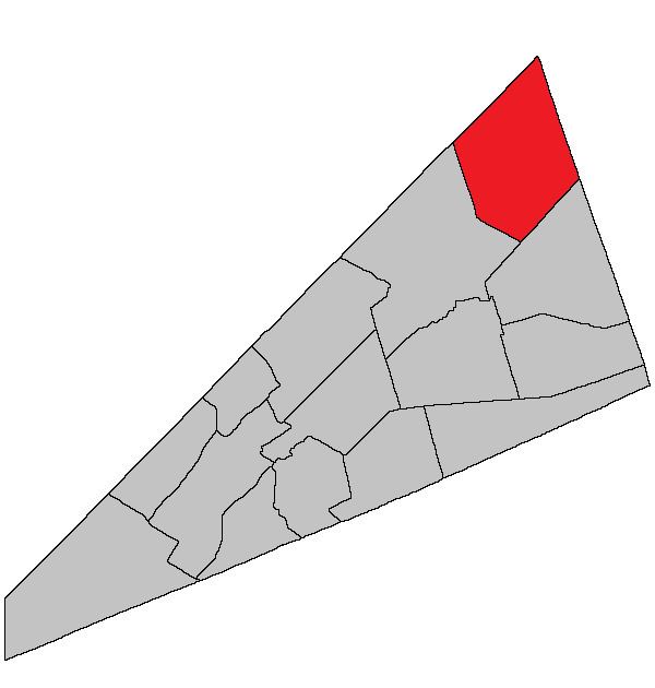
- Map of Havelock NB Canada
- History
- Delineation
- Communities
- Bodies of water Islands
- Access Routes
- References
Map of Havelock, NB, Canada
History
Havelock Parish established in 1858 from Studholm Parish: named for Sir Henry Havelock (1795-1857), a hero of the Crimean War from 1853-1856, who died in India following the relief of Lucknow in 1857.
Delineation
Havelock Parish is defined in the Territorial Division Act as being bounded:
West by Studholm Parish; northwest and east by the County lines, and south by Cardwell Parish.Communities
Parish population total does not include incorporated municipalities (in bold):
Bodies of water & Islands
This is a list of rivers, lakes, streams, creeks, marshes and Islands that are at least partially in this parish
Access Routes
Highways and numbered routes that run through the parish, including external routes that start or finish at the parish limits:
References
Havelock Parish, New Brunswick Wikipedia(Text) CC BY-SA