
Established 1840 Population 3,612 (2011) | Time zone AST (UTC-4) | |
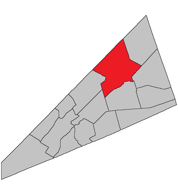 | ||
Studholm is a Canadian parish in Kings County, New Brunswick.
Contents
History
Studholm Parish established in 1840 from Sussex Parish: named for Gilfred Studholme (1740-1792), the commander at Fort Howe in 1783 and a settler in the area: Studholm Parish included Havelock Parish until 1858.
Delineation
Studholm Parish is defined in the Territorial Division Act as being bounded:
West by Springfield Parish and the line running north from the mouth of the Halfway Brook; northwest by the County line; east by the western side line of the grant of nine hundred and ninety-seven acres to Thomas Leonard, the northern prolongation thereof to the County line, and the southerly prolongation thereof to Windgap Brook; thence following the several courses of said brook down stream until it intersects a line running south forty-two degrees thirty minutes east by the magnet of the year one thousand eight hundred and thirty-nine from the southwest angle of lot number one south granted to James Caruth; thence following the said last-mentioned line prolonged to Cardwell Parish, and south by Sussex and Cardwell Parishes.Communities
Parish population total does not include incorporated municipalities (in bold).
Bodies of water & Islands
This is a list of rivers, lakes, streams, creeks, marshes and Islands that are at least partially in this parish
Access Routes
Highways and numbered routes that run through the parish, including external routes that start or finish at the parish limits:
References
Studholm Parish, New Brunswick Wikipedia(Text) CC BY-SA