
Prominence 53 m | Elevation 486 m | |
 | ||
Similar Hesselberg, Dünsberg, Pferdskopf, Herzberg, Gaulskopf | ||
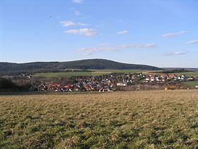
The Hausberg is a mountain with an elevation of 486 m next to Butzbach in Hesse, Germany. It is part of the Taunus mountain range and located at its easternmost part bordering the fertile landscape of the Wetterau, which is of a much lower altitude. Therefore, the mountain is well situated for look-out and in 1873 a first look-out tower was erected on its top. In 1875 a storm damaged the tower severely, but it was repaired in the following year and remained in use until 1941 when it was demolished due to being in disrepair. More than 60 years later in June 2007 the construction of a new tower started and was completed in May 2008. The new tower has a total height of 23 m and a roofed observation deck at 19 m.
Map of Hausberg, 35510 Butzbach, Germany
The Hausberg and its neighbouring Brülerberg were the site of an ancient Celtic ringfort from the La Tène period. The excavation and research of its remains started in 1911. In the neighbourhood there are also remains from the Roman period. The Limes Germanicus traverses through the foothills of the Hausberg and one of its smaller forts the Hunnenkirchhof is located close to the mountain.