Local time Friday 7:04 PM | ||
 | ||
Weather 27°C, Wind SW at 3 km/h, 86% Humidity Neighborhoods Seethawaka, Kudagama, Avissawella, Ukwatta | ||
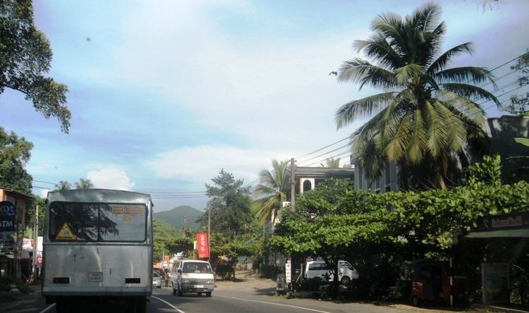
Avissawella, (අවිස්සාවේල්ල in Sinhala, அவிசாவளை in Tamil) is a township in Sri Lanka, governed by an Urban Council, situated on the A4 route from Colombo to Ratnapura, Colombo District, Western Province, Sri Lanka, approximately 59 km east of capital Colombo. It is also known as Seethawakapura.
Contents
Map of Avissawella, Sri Lanka
Overview
It is on the periphery of the Western Province on its border with the Sabaragamuwa Province. This town has a rich and proud history in the annals of its military exploits against the Portuguese invaders as it was the capital of Sitawaka Kingdom from 1521 to 1593. Seethawaka was ruled by King Mayadunne and later his son Rajasinghe the First during this period. There is a lore that Rajasinghe was a parricide but some historians discount this as a story spread by jealousy. Avissawella is the junction from where the oldest land route to the Hill Country via Hatton and the road down South via Ratnapura diverge. The Kelani Valley railway terminates at Avissawella.
The town is governed by the Seethawakapura Urban Council.
During the past, this area was known as Seethawaka and this name is used to identify a section of this town to this day. There are folklore which relate this name to "Seetha Devi" of Ramayanaya fame. Seethawaka legend has become richer because of these stories. Seethawaka river a branch of Kelani river, is flowing at the outskirt of the city. City is rapidly transforming into an industrial city with the establishment of Seethawaka industrial zone during late 1990s.
