
Country United States County Oswego FIPS code 36-32688 Elevation 137 m Population 9,450 (2010) Area code 315 | State New York Time zone Eastern (EST) (UTC-5) GNIS feature ID 0979057 Zip code 13076 Local time Friday 7:11 PM | |
 | ||
Weather 1°C, Wind N at 6 km/h, 43% Humidity Area 119.1 km² (118.6 km² Land / 78 ha Water) | ||
Hastings is a town in Oswego County, New York, United States. The population was 9,450 at the 2010 census. The town is named after Hastings Curtiss, a prominent citizen and member of the State Assembly in 1824.
Contents
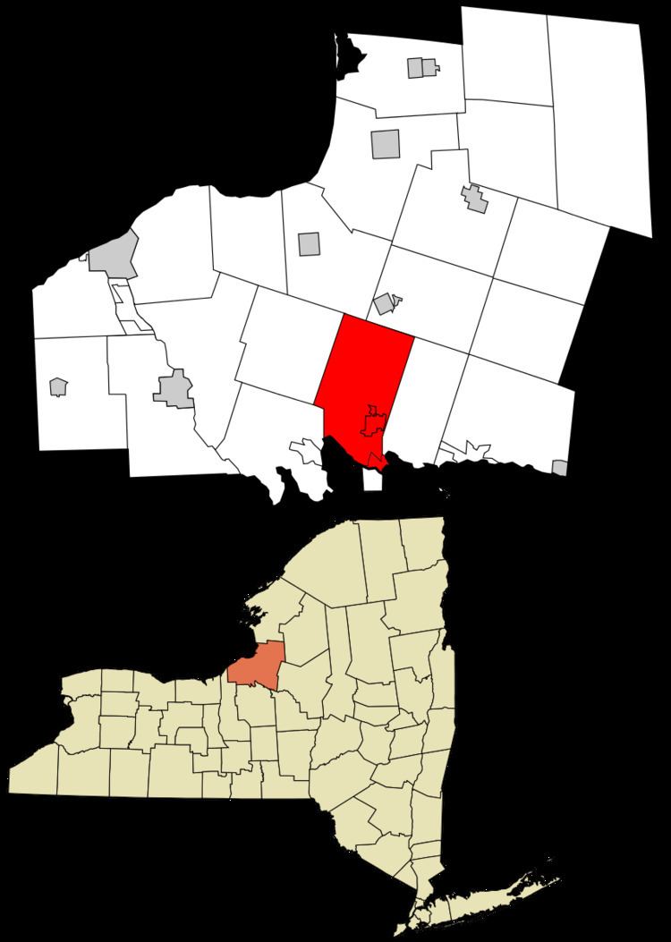
- Map of Hastings NY 13076 USA
- History
- Geography
- Demographics
- Communities and locations in Hastings
- References
Map of Hastings, NY 13076, USA
The Town of Hastings is on the south border of the county. U.S. Route 11 and Interstate 81 pass through the town.
History
Hastings was the first town settled in Oswego County when Oliver Stevens built a rude house near the abandoned Fort Brewerton in 1789. Stevens used the location to trade with Indians and to provide a tavern-like establishment for the boatmen who frequented the nearby river and lake. The region was originally called "Breda." The town was formed in 1825 from Constantia. The early industry was lumbering and manufacturing of wooden products.
The Carley's Mills Schoolhouse was listed on the National Register of Historic Places in 2005.
Geography
According to the United States Census Bureau, the town has a total area of 46.0 square miles (119 km2), of which, 45.8 square miles (119 km2) of it is land and 0.2 square miles (0.52 km2) of it (0.54%) is water.
The south town line is the Oneida River and the border of Onondaga County, New York. The south tip of the town is at the west end of Oneida Lake where it becomes the Oneida River.
Demographics
As of the census of 2000, there were 8,803 people, 3,374 households, and 2,365 families residing in the town. The population density was 192.3 people per square mile (74.3/km²). There were 3,635 housing units at an average density of 79.4 per square mile (30.7/km²). The racial makeup of the town was 97.75% White, 0.32% African American, 0.49% Native American, 0.30% Asian, 0.05% Pacific Islander, 0.11% from other races, and 0.99% from two or more races. Hispanic or Latino of any race were 0.67% of the population.
There were 3,374 households out of which 35.3% had children under the age of 18 living with them, 55.5% were married couples living together, 9.8% had a female householder with no husband present, and 29.9% were non-families. 23.7% of all households were made up of individuals and 9.6% had someone living alone who was 65 years of age or older. The average household size was 2.61 and the average family size was 3.08.
In the town, the population was spread out with 27.2% under the age of 18, 7.0% from 18 to 24, 32.2% from 25 to 44, 22.5% from 45 to 64, and 11.1% who were 65 years of age or older. The median age was 36 years. For every 100 females there were 98.0 males. For every 100 females age 18 and over, there were 95.3 males.
The median income for a household in the town was $40,085, and the median income for a family was $46,722. Males had a median income of $35,380 versus $24,958 for females. The per capita income for the town was $17,931. About 6.2% of families and 10.0% of the population were below the poverty line, including 11.2% of those under age 18 and 7.0% of those age 65 or over.