
OS grid reference TR097449 Sovereign state United Kingdom Local time Friday 10:41 PM | Civil parish Hastingleigh Area 6.33 km² Dialling code 01233 | |
 | ||
Population 230 (Civil Parish 2011) Weather 8°C, Wind SW at 35 km/h, 78% Humidity | ||
The small civil parish of Hastingleigh centred on an escarpment of the Kent Downs in Kent three miles east of Wye and ten miles south of Canterbury, extending to the hill-scape of the Devil's Kneading Trough, on the North Downs Way with views towards Ashford, Romney Marsh and the patchy remnant forest of The Weald (between the Greensand Ridge and South Downs).
Contents
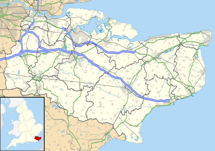
Map of Hastingleigh, UK
Amenities
Common amenities are a garage and a public house.
History
Hastingleigh was late in receiving a broadband service, in late 2006. It held most requests status for six months before conversion.
The village was in existence before the Domesday Book and originally lay in the valley by the Church of England church (St. Mary the Virgin) but following the plague, the main settlement was relocated to its current position. The church is made of stone, in the Early English style, and has a tower containing one bell: there is a brass to John Halke, d.1604, and Amia his wife, d.1596: The maternal grandparents of Dr. William Harvey; his mother Joane was born at South Hill, Hastingleigh and married Thomas Harvie of Folkestone, in Hastingleigh Church. The nave and aisle were restored in 1880 and the chancel in 1886: the church affords 200 sittings. 12th-century murals were partially uncovered on the north wall, and south east corner of the church in 1966.
Transport
The village is reached from west or east. The main route (Churchfield Way) through more populated but larger Wye in the west connects, after a short section then a steep descent outside of the civil parish borders, to Elmsted and then to Canterbury.
There is little to no public transport to the village, depending on day of the week.