
OS grid reference ST6184079946 Post town BRISTOL Local time Friday 10:31 AM UK parliament constituency Filton and Bradley Stoke | Sovereign state United Kingdom Postcode district BS34 Dialling code 01454 | |
 | ||
Weather 8°C, Wind W at 27 km/h, 74% Humidity | ||
Bristol parkway to uwe through harry stoke
Harry Stoke is a village in the parish of Stoke Gifford, South Gloucestershire, England.
Contents
- Bristol parkway to uwe through harry stoke
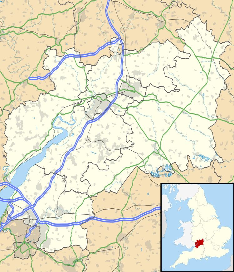
- Map of Harry Stoke Stoke Gifford Bristol UK
- Harry stoke mp4
- References
Map of Harry Stoke, Stoke Gifford, Bristol, UK
There were three manors in the parish of Stoke Gifford. The Giffards and Berkeleys held Stoke and Walls. Harry Stoke was a separate manor held by Aldred in Saxon times, Theobald in Norman times and the Blount and De Filton families in medieval times. The Berkeleys bought it in the l6th century.
One of the last coal mines in the Bristol Coalfield was at Harry Stoke. The mine was a drift mine, begun in 1952. Bad roof conditions made the mine uneconomical, and it closed in 1963.
More information can be found on the Southern Brooks Archaeological site.
Harry stoke mp4
References
Harry Stoke Wikipedia(Text) CC BY-SA