
Time zone SAST (UTC+2) Area 10,547 km² Black african population 96.7% Native english speakers 3.2% | Municipal code DC43 White population 1.2% Native afrikaans speakers 1.3% | |
 | ||
Local municipalities ListDr Nkosazana Dlamini-ZumaGreater KokstadUbuhlebezweUmzimkhulu Points of interest Sani Pass, uKhahlamba‑Drakensberg Park, Glengarry Golf Club, Himeville Museum, Hermits Wood Campsite | ||
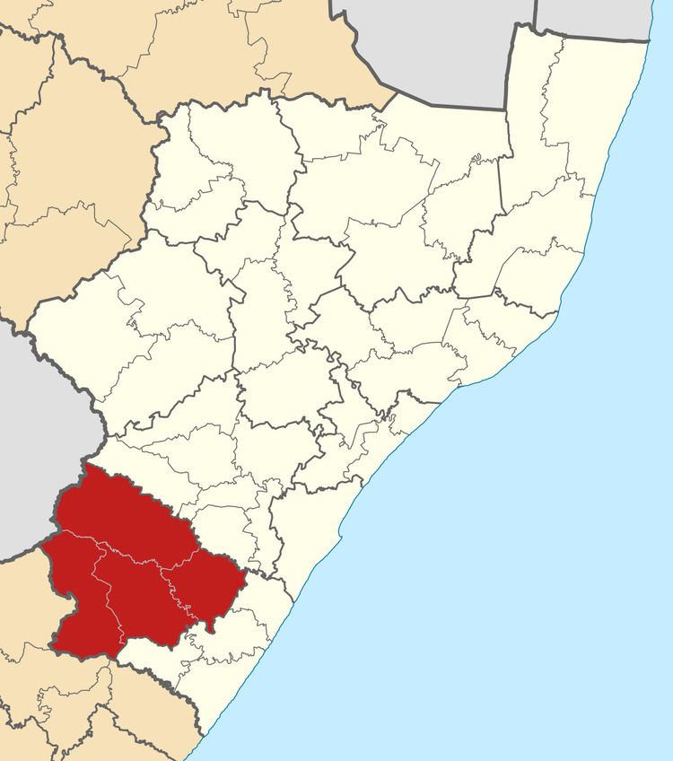
Harry Gwala is one of the 11 districts of KwaZulu-Natal province of South Africa. The seat of Harry Gwala is Ixopo. The majority of its 298 392 people speak IsiZulu (2011 Census). The district code is DC43. In November 2015, Sisonke District's name was changed to Harry Gwala District.
Contents
- Map of East Griqualand South Africa
- Neighbours
- Local municipalities
- Demographics
- Election results
- References
Map of East Griqualand, South Africa
Neighbours
Harry Gwala is surrounded by:
Local municipalities
The district contains the following local municipalities:
Demographics
The following statistics are from the 2001 census.
Election results
Election results for Harry Gwala in the South African general election, 2004.
References
Harry Gwala District Municipality Wikipedia(Text) CC BY-SA