
Country United States GNIS feature ID 453936 Area 79.02 km² Population 1,622 (2010) | ZIP codes 47003, 47010, 47353 Elevation 308 m Local time Friday 2:10 PM | |
 | ||
Weather 11°C, Wind W at 23 km/h, 93% Humidity | ||
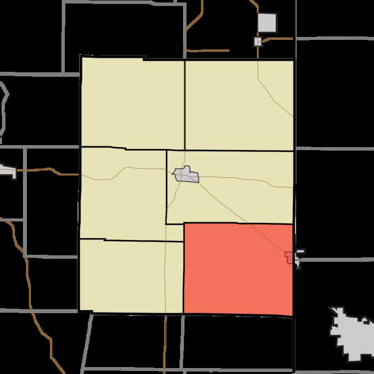
Union Township is one of six townships in Union County, Indiana, United States. As of the 2010 census, its population was 1,622 and it contained 696 housing units.
Contents
- Map of Union Township IN USA
- Geography
- Cities and towns
- Unincorporated towns
- Cemeteries
- School districts
- Political districts
- References
Map of Union Township, IN, USA
Geography
According to the 2010 census, the township has a total area of 30.51 square miles (79.0 km2), of which 30.43 square miles (78.8 km2) (or 99.74%) is land and 0.08 square miles (0.21 km2) (or 0.26%) is water.
Cities and towns
Unincorporated towns
Cemeteries
The township contains these three cemeteries: College Corner, Crawfords and Keiffer.
School districts
Political districts
References
Union Township, Union County, Indiana Wikipedia(Text) CC BY-SA