
Country India Vehicle registration WB Area 214.9 km² | Time zone IST (UTC+5:30) Lok Sabha constituency Balurghat | |
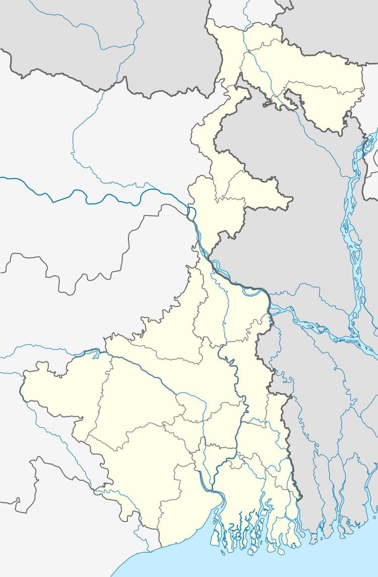 | ||
Harirampur (community development block) is an administrative division in Gangarampur subdivision of Dakshin Dinajpur district in the Indian state of West Bengal. Harirampur police station serves this block. Headquarters of this block is at Harirampur.
Contents
Geography
Harirampur is located at 25°22′27″N 88°16′04″E.
Harirampur community development block has an area of 214.88 km2.
Gram panchayats
Gram panchayats of Harirampur block/ panchayat samiti are: Bagichapur, Bairhatta, Gokarna, Pundari, Saiyadpur and Sirsi.
Demographics
As per 2011 Census of India Harirampur CD Block had a total population of 136,853 of which 131,832 were rural and 66,489 were urban. There were 69,058 males and 67,795 females. Scheduled Castes numbered 29,853 and Scheduled Tribes numbered 25,053.
Literacy
As per 2011 census the total number of literates in Harirampur CD Block was 76,099 out of which 42,335 were males and 33,764 were females.<ref name=census2011/