
Country India STD 03212 Area 184.4 km² Population 261,073 (2011) | Time zone IST (UTC+5:30) Elevation 16 m Literacy 78.6% Area code 03212 | |
 | ||
PIN 712403 (Haripal)712405 (Khamarchandi)712407 (Nalikul) | ||
Haripal is a community development block that forms an administrative division in Chandannagore subdivision of Hooghly district in the Indian state of West Bengal.
Contents
Overview
Hooghly district forms a part of the flat alluvial plains of the lower Gangetic delta. It lies on the western bank of the Hooghly, a distributary of the Ganges. The river bank of the Hooghly is heavily industrialised. The Dwarakeswar, in the western part of the district, forms the dividing line between the uplands and the plains. It is subsequently joined by the Shilabati to form the Rupnarayan, flowing along the western boundary of the district. The Damodar intersects the district. Human intervention in the form of construction of roads and railways and flood control measures have affected the topography. Urbanisation and industrialisation has altered land use pattern of the district. With a very high density of population (1,601 per km2), about 66% of the population live in the rural areas. In 2001, Hindus formed 83.63% of the population followed by Muslims, who formed 15.14% of the population. The Scheduled Castes and Scheduled Tribes together constituted 43% of the population.
Location
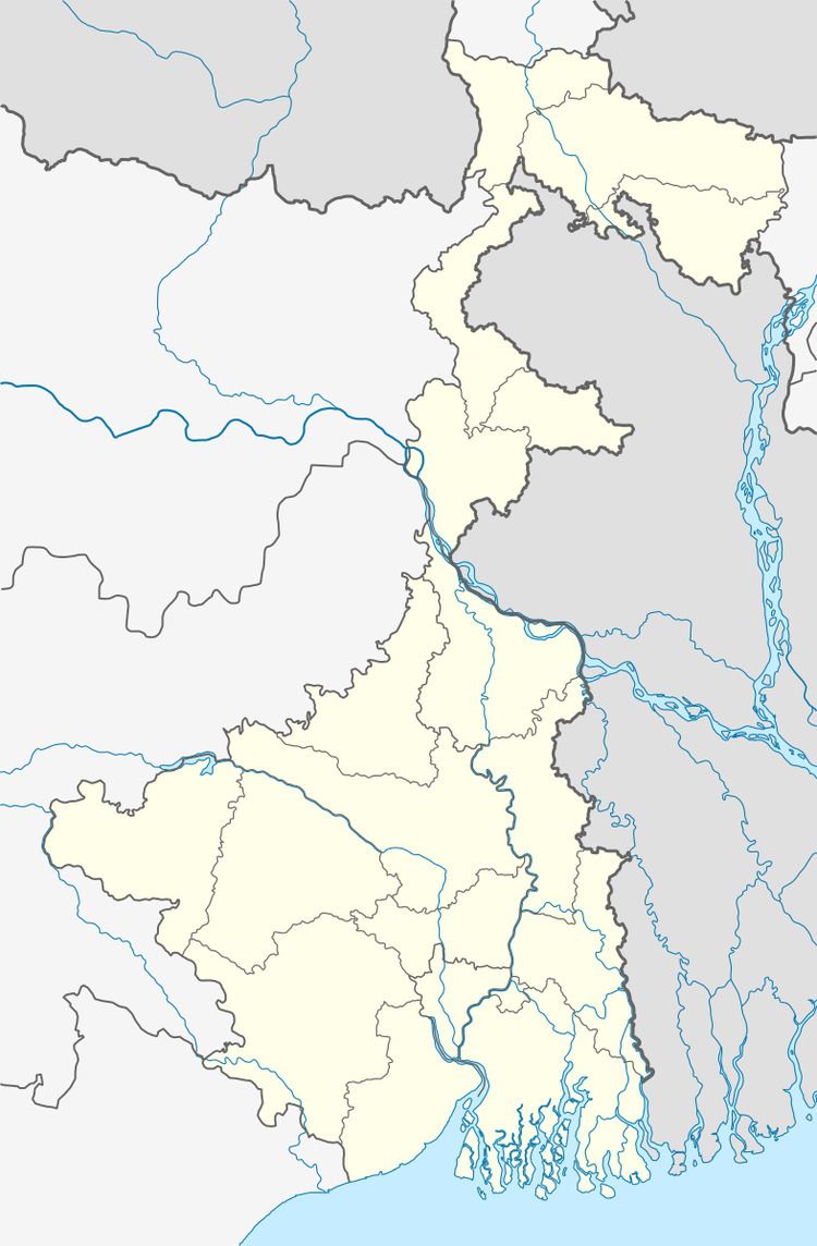
Haripal is located at 22°50′00″N 88°07′00″E.
Haripal CD Block is bounded by Dhaniakhali and Polba Dadpur CD Blocks in the north, Singur CD Block in the east, Chanditala I and Jangipara CD Blocks in the south and Tarakeswar CD Block in the west.
It is located 34 km from Chinsurah, the district headquarters.
Area and administration
Haripal CD Block has an area of 184.40 km2.Haripal police stations serve this CD Block. Haripal panchayat samity has 15 gram panchayats. The block has 153 inhabited villages.Headquarters of this block is at Khamarchandi, five minutes walking distance from Harpial railway station.
Gram panchayats
Gram panchayats of Haripal block/ panchayat samiti are: Bandipur, Chandanpur, Dwarhata, Haripal-Asutosh, Haripal-Sahadev, Haripur-Kinkarbati, Jejur, Kaikala, Nalikul-Paschim, Nalikul-Purba, Narayanpur-Bahirkhand, Olipur-Kashipur, Pantra, Paschim Gopinathpur and Sripatipur-Elipur.
Population
As per 2011 Census of India Haripal CD Block had a total population of 261,073, of which 256,507 were rural and 4,566 were urban. There were 131,757 (50%) males and 129,316 (50%) females. Population below 6 years was 26,259. Scheduled Castes numbered 73,178 and Scheduled Tribes numbered 17,498.
As per 2001 census, Haripal block had a total population of 235,671, out of which 118,464 were males and 117,207 were females. Haripal block registered a population growth of 14.29 per cent during the 1991-2001 decade. Decadal growth for Hooghly district was 15.72 per cent. Decadal growth in West Bengal was 17.84 per cent.
Census Town and large villages
There is only one Census Town in Haripal CD Block (2011 census figure in brackets): Bargachhia (4,566).
Large villages (with 4,000+ population) in Haripal CD Block (2011 census figures in brackets): Kaikala (5,571), Paschim Narayanpur (4,184), Gopinagar (4,512), Jejur (5,173), Bandipur (4,979), Malia (4,393) and Shripatipur (5,727).
Other villages in Haripal CD Block (2011 census figure in brackets): Haripal (3,395)
Literacy
As per 2011 census the total number of literates in Haripal CD Block was 184,531 (78.59% of the population over 6 years) out of which 100,034 (54%) were males and 84,497 (46%) were females.
As per 2011 census, literacy in Hooghly district was 81.80%.Literacy in West Bengal was 77.08% in 2011. Literacy in India in 2011 was 74.04%.
As per the 2001 census, Pursurah block had a total literacy of 51.27 per cent. While male literacy was 71.43 per cent, female literacy was 41.96 per cent.
See also – List of West Bengal districts ranked by literacy rate
Language
Bengali is the local language in these areas.
Religion
In 2011 census Hindus numbered 204,728 and formed 78.42% of the population in Haripal CD Block. Muslims numbered 53,226 and formed 20.39% of the population. Others numbered 3,119 and formed 1.19% of the population.
In 2011, Hindus numbered 4,574,569 and formed 82.89% of the population in Hooghly district. Muslims numbered 870,204 and formed 15.77% of the population. In West Bengal Hindus numbered 64,385,546 and formed 70.53% of the population. Muslims numbered 24,654,825 and formed 27.01% of the population.
Human Development Report
The first wave of industrialisation (in Hooghly district, as well as the region) came with the establishment of jute mills along the banks of the Hooghly River long back in the British era. The district has moved from an overwhelmingly rural society with a mere 14.92% of the population living in urban areas in 1901 to a more urban society with 33.47% of the population living in urban areas in 2001. Increasing urbanisation has opened up a broader range of livelihood opportunities. However, in 12 out of the 18 community development blocks in the district the entire population continued to live in the rural areas in 2001. The district presents a unique picture of 12 municipalities surrounded by rural areas.
In the rural areas of the district while 14.95% of the total workers were cultivators, agricultural labourers were 24.31%, thereby indicating the huge pressure on land that outstrips its ownership. In Haripal CD Block, while cultivators were 18.50% of the total workers, agricultural labourers formed 37.32%. Household workers formed 7.30% and other workers 36.89%. Up to 30.11.2006 a total of 5,260 hectares of vested agricultural land was distributed amongst 71,643 persons in Hooghly district. Amongst different categories of workers engaged in agriculture in Haripal CD Block 13.40% were bargadars, 6.43% patta (ownership document) holders, 13.53% small farmers, 14.95% marginal farmers and 51.70% agricultural workers in 2001.
Agricultural activities or cultivation is divided into two categories: crop cultivation and plantation (orchards). There is a general belief that plantations are more remunerative. In Haripal CD Block 78.52% of the land is used for crop cultivation and 2.42% for orchards. In Haripal CD Block 96.13% of the land is sown more than once. Haripal CD Block produced 35,080 tonnes of Aman paddy from 13,194 hectares, 6,660 tonnes of Boro paddy from 4,743 hectares, 77,670 tonnes of Jute from 3,315 hectare and 173,530 tonnes of potatoes from 7,492 hectares in 2005-06. In Haripal CD Block out of the total cultivated area of 14,426 hectares 1,700 hectares is drought prone and 3,000 hectares is flood prone. The irrigation system in Hooghly district is based on five rivers: Bhagirathi, Damodar, Mundeswari, Darakeswar and Sankari. Erosion of the river banks of these rivers pose a problem in many areas, particularly the Khanakul area.
Handloom saris of Dhaniakhali, Begampur, Jangipara and Rajbalhat areas, and dhutis of Haripal, Rajbalhat and Khanakul areas are familiar all over the country. However, in spite of Government support, the problems of adequate finance, raw materials and marketing persist. Low remuneration is forcing weavers to switch over to other professions. Dhaniakhali produces three varieties of saris – 100 counts (fine), 80 counts (medium) and 60 counts (general). Weaver’s wage for finishing a sari is Rs.47 for 60 counts, Rs.62 for 80 counts and Rs. 135 for 100 counts. It takes two days to complete a sari.
Hooghly district has the distinction of all mouzas (villages) being electrified by 2005. In Haripal CD Block all 154 mouzas were electrified. However, in Haripal CD Block 66.06% of households owned houses with electricity and 38.40% households owned houses with toilets in 2001.
In the rural areas of Hooghly district there are wide variations amongst the CD Blocks regarding families living below poverty line (BPL). The data provided in the table given below is based on a household survey for BPL list carried out by the state government in 2005.
Infrastructure
Haripal CD Block had 10,824 hectares of canals. In Haripal CD Block 1,206.83 hectares was the nett area under effective pisiculture and 5,603 persons were engaged in the profession. Approximate annual production in 2003-04 was 48,245.2 qtl. In 2003-04 Haripal had 81.73 km of surfaced roads under PWD, 73.60 km surfaced roads under Zilla Parishad and 325 km unsurfaced roads under Zilla Parishad.
Agriculture
This is a rich agricultural area with several cold storages. Though rice is the prime crop of the district, the agricultural economy largely depends on potato, jute, vegetables and orchard products. Vegetable is a prize crop in the blocks of Haripal, Singur, Chanditala, Polba and Dhaniakhali being grown in a relay system throughout the year. Though potato is cultivated in all the blocks of this district Dhaniakhali, Arambagh, Goghat, Pursurah, Haripal, Nalikul, Polba-Dadpur, Tarakeswar, Pandua and Singur contributed much of its production of this district.
Some of the primary and other hats or markets in the Haripal block area are: Basudevpur hat, Bondipur hat, Dar hatta hat, Jejur Daily Market, Kaikala hat, Kalchara hat, Nalikul hat and Nalikul Station Bazar, Nalikul Bakchi Bazar, Kinkarbati Hattala, Sipaigachi hat, Jagin market, Haripal Barabazar and Haripal Station Bazar.
Transport
The broad gauge Sheoraphuli–Tarakeswar branch line was opened by the Tarkessur Railway Company on 1 January 1885 and was worked by East Indian Railway Company. The Tarkessur company was taken over by the East Indian Railway in 1915.Haripal is a suburban station on the line and is 45 kilometres (28 mi) from Howrah.
Transport
State Highway 2 (West Bengal) running from Bankura to Malancha (in North 24 Parganas district) passes through this CD Block.
Haripal CD Block has 8 originating/ terminating bus routes.
Education
In 2003-04, Haripal CD Block had 183 primary schools with 24,903 students, 3 middle schools with 986 students, 16 high schools with 12,984 students and 8 higher secondary schools with 9,634 students. Haipal CD Block had 1 general college with 2,364 students, 2 professional and technical institutes with 236 students, 237 institutions with 10,198 students for special and non-formal education.
Healthcare
Haripal CD Block had 1 hospital, 3 health centres, 39 clinics and 3 dispensaries with 46 beds and 9 doctors in 2003.