
Area 9 km (3.5 sq mi) Width 4 km (2.5 mi) Highest point Høgåsen | Length 5 km (3.1 mi) Highest elevation 240 m (790 ft) | |
 | ||
Location Ulstein Municipality, Norway | ||
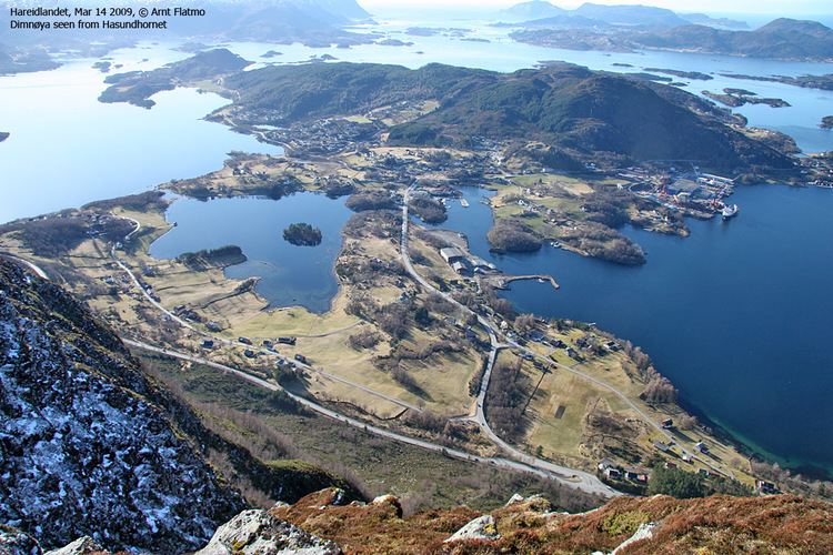
Dimnøya or Dimna is an island in Ulstein Municipality in Møre og Romsdal county, Norway. It is connected to the island of Hareidlandet to the east by a bridge. The town of Ulsteinvik lies 2 kilometres (1.2 mi) northeast of the island.
Map of Dimn%C3%B8ya, 6065 Ulsteinvik, Norway
The 9-square-kilometre (3.5 sq mi) island is about 5 kilometres (3.1 mi) long and about 4 kilometres (2.5 mi) wide. It is located about 1 kilometre (0.62 mi) north of the island of Gurskøy and about 1.5 kilometres (0.93 mi) north of the island of Leinøy, both in neighboring Herøy Municipality.
References
Dimnøya Wikipedia(Text) CC BY-SA