
Elevation 345 m (1,132 ft) Area 206 ha | Established 1483 Time zone EET (UTC+2) Local time Thursday 3:30 PM | |
 | ||
Weather 4°C, Wind NW at 27 km/h, 75% Humidity | ||
Harbuziv (Ukrainian: Гарбу́зів) is a village (selo) in the Zboriv Raion of the Ternopil Oblast (province of Western Ukraine). The population of the village is just about 303 people and Local government is administered by Harbuzivska village council.
Contents
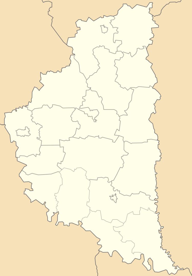
Map of Harbuziv, Ternopil Oblast, Ukraine
Geography
The village is located in the upper reaches of the Seret-Pravyy River (left tributary of the Dniester). It is situated in the 61 kilometres (38 mi) from the regional center Ternopil, 24 kilometres (15 mi) from the district center Zboriv and 111 kilometres (69 mi) from Lviv.
History and Attractions
The date of establishment the village is considered 1483, but the first record on the village dates back to 1232 year. Archeological sights of ancient culture early Iron Age has been discovered near the village Harbuziv.
In the village there is a church of St. Nicholas. And in the village has been preserved botanical nature monument an ancient linden tree " Harbuzivska lypa ".