
Country United States GNIS feature ID 453373 Local time Thursday 8:34 AM | FIPS code 18-31324 Elevation 163 m Population 1,588 (2010) | |
 | ||
Weather -8°C, Wind SE at 0 km/h, 87% Humidity Area 98.96 km² (97.25 km² Land / 171 ha Water) | ||
Harbison Township is one of twelve townships in Dubois County, Indiana. As of the 2010 census, its population was 1,588 and it contained 690 housing units.
Contents
- Map of Harbison Township IN USA
- History
- Geography
- Unincorporated towns
- Adjacent townships
- Major highways
- Cemeteries
- References
Map of Harbison Township, IN, USA
History
Harbison Township was named for Arthur Harbison, a pioneer settler and judge.
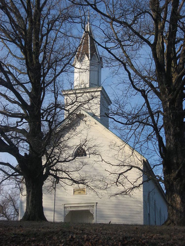
The Evangelische Lutherische Emanuels Kirche was listed on the National Register of Historic Places in 1990.
Geography
According to the 2010 census, the township has a total area of 38.21 square miles (99.0 km2), of which 37.55 square miles (97.3 km2) (or 98.27%) is land and 0.66 square miles (1.7 km2) (or 1.73%) is water.
Unincorporated towns
(This list is based on USGS data and may include former settlements.)
Adjacent townships
Major highways
Cemeteries
The township contains ten cemeteries: Cavender, Chattin, Cooper, Ewing, Gwin, Harbison, Hardin, Hope, Mount Zion and Reed.
References
Harbison Township, Dubois County, Indiana Wikipedia(Text) CC BY-SA