
Length 7 km (4.3 mi) Highest elevation 156 m (512 ft) | Area 13.6 km (5.3 sq mi) Width 3 km (1.9 mi) Highest point Harøyburet | |
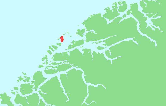 | ||
Harøya is a swampy island in Sandøy Municipality in Møre og Romsdal county, Norway. At 13.6 square kilometres (5.3 sq mi), it is the largest island in the municipality. The island is located between the islands of Finnøya (to the northeast) and Fjørtofta (to the southwest).
Map of Har%C3%B8ya, Sand%C3%B8y, Norway
Steinshamn, the municipal center, is located at the north end of the island where there is a causeway connecting it to Finnøya. The village of Myklebost is located at the south end of the island, where there are ferry connections to Dryna (in Midsund) and Brattvåg and Fjørtofta (in Haram). Harøy Church is located in the center of the island.
References
Harøya Wikipedia(Text) CC BY-SA