
Length 3 km (1.9 mi) Highest elevation 112 m (367 ft) Elevation 112 m | Area 8.9 km (3.4 sq mi) Width 6 km (3.7 mi) Highest point Æafjellet | |
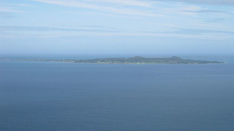 | ||
Fjørtofta is the northernmost island in Haram Municipality in Møre og Romsdal county, Norway. The 8.9-square-kilometre (3.4 sq mi) island is located in the northern part of the municipality, between the islands of Flemsøya (in Haram Municipality), Harøya (in Sandøy Municipality), and Midøya and Dryna (in Midsund Municipality).
Map of Fj%C3%B8rtofta, 6294 Fj%C3%B8rtoft, Norway
Fjørtofta is a fairly flat island and the highest point is the 112-metre (367 ft) tall Æafjellet. Agriculture and fishing are the main industries on the island. The island has ferry connections to the village of Brattvåg (on the mainland of Haram) and to the village of Myklebost (on Harøya in Sandøy Municipality). Fjørtoft Church is located on the northern part of the island.
References
Fjørtofta Wikipedia(Text) CC BY-SA