
OS grid reference TM178964 Local time Thursday 10:11 AM | Sovereign state United Kingdom Postcode district NR15 | |
 | ||
Weather 13°C, Wind SW at 26 km/h, 75% Humidity | ||
Hapton is a village in Norfolk, England, located about nine miles south of Norwich. It is in the parish of Tharston and Hapton (where the population is included).
Contents
Map of Hapton, Norwich, UK
Description
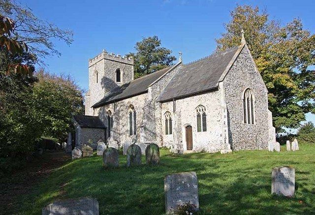
The local church is dedicated to St. Margaret and was originally built in the 13th century despite having a Victorian bell tower with a solitary bell. Village amenities include a primary school and a piece of land next to the church which was purchased in 2004 on behalf of the village for common use and now has a picnic bench and BBQ with disabled access. The local shop and post office have closed in recent years.
Hapton Hall is located close to the village and the Norwich-London Liverpool St. mainline. Several years ago, it was bought by Redwings Horse Sanctuary which now owns much of the land surrounding it. Before that time it was a working farm.
Neighbours
Nearby villages include Tharston, Flordon, Fundenhall, Tasburgh and Tacolneston.